
First ascent unknown Elevation 1,533 m | Easiest route drive, then hike Mountain range Tenasserim Hills | |
 | ||
Similar Mount Chamah, Gunung Gerah, Gunung Chabang, Gunung Batu Putih, Mount Korbu | ||
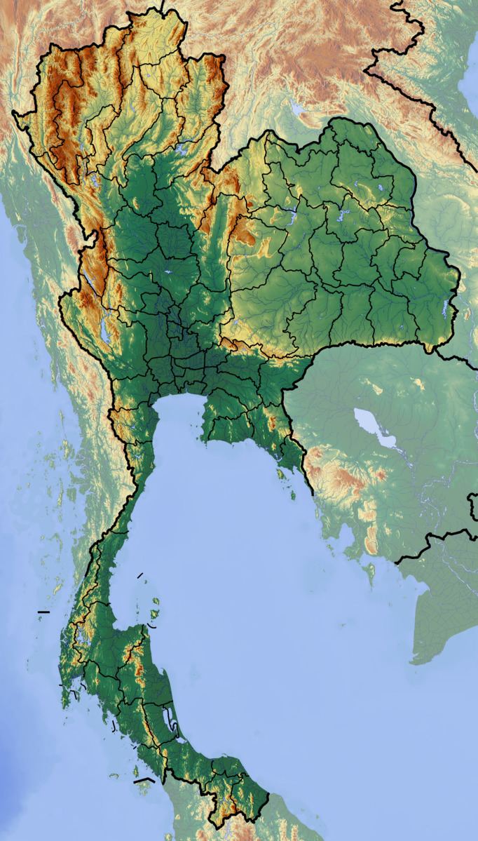
Ulu Titi Basah (Thai: เขาหลวง; Malay: Gunung Ulu Titi Basah) is the southernmost high peak of Thailand. This 1,533 m high peak rises at the Thai/Malaysian border between Betong District of Yala Province and Hulu Perak in Perak State.
Contents
Map of Ulu Titi Basah, Perak, Malaysia
Geography
The Ulu Titi Basah mountain is the highest summit of the Sankalakhiri Range (Thai: เทือกเขาสันกาลาคีรี), the northern section of the Titiwangsa Mountains, a subrange of the Tenasserim Hills.
References
Ulu Titi Basah Wikipedia(Text) CC BY-SA