
Elevation 383 m Local time Friday 2:19 AM Area code 066 | Postal code 21300 | |
 | ||
Time zone Sri Lanka Standard Time (UTC+5:30) Weather 23°C, Wind SE at 3 km/h, 90% Humidity | ||
Ukuwela ( Sinhala:උකුවෙල, Tamil:உக்குவளை ) is a small town in Sri Lanka. It is located within Matale District, Central Province. It is located on the Wattegama-Matale (B462) road, about 5.5 kilometres (3.4 mi) from Matale. The railway station is located in the town. The population of the town, according to the 2012 census, was 2,170.
Contents
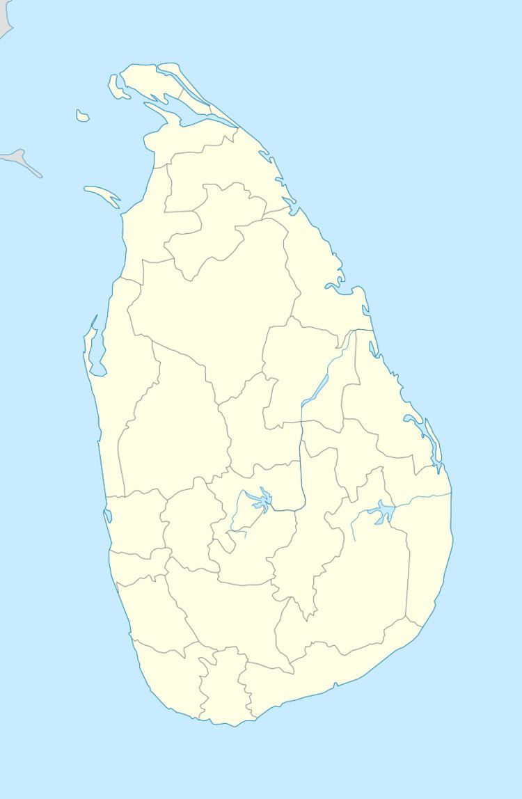
- Map of Ukuwela Sri Lanka
- Local Government Council
- Topography
- Climate
- Natural Vegetation
- Soil
- Bus
- Rail
- Banks
- Sports
- Education
- Ukuwela Power station
- References
Map of Ukuwela, Sri Lanka
Local Government Council
Ukuwela is the administrative centre of Ukuwela Pradeshiya Sabha.
Topography
Ukuwela is located in the mountainous and thickly forested interior of the island and overlooked by Knuckles Mountain Range. The town is situated 383 metres (1,257 ft) above sea level.
Climate
Ukuwela's climate is classified as tropical. Ukuwela is a town with a significant rainfall. Even in the driest month there is a lot of rain. The climate here is classified as Af by the Köppen-Geiger system. The average annual rainfall is 1892 mm. The wet season has a rainfall peak around September, the dry season is around the month of February.
In Ukuwela, the average annual temperature is 25.2 °C. March is warmest with an average temperature of 31.8 °C at noon. February is coldest with an average temperature of 19 °C at night. Ukuwela has no distinct temperature seasons, the temperature is relatively constant during the year. The temperatures at night are cooler than during daytime. March is on average the month with most sunshine. Ukuwela has a humid (> 0.65 p/pet) climate.
Natural Vegetation
The land area is not cultivated, most of the natural vegetation is still intact. The landscape is mostly covered with closed to open broadleaved evergreen or semi-deciduous forest. The climate is classified as a tropical monsoon (short dry season, monsoon rains other months), with a tropical moist forest biozone .
Soil
The soil in the area is high in lixisols (lx), soil with clay-enriched lower horizon, low cec, and high saturation of bases.
Bus
Ukuwela has a public transport system based primarily on buses.
Rail
Ukuwela is served by Sri Lanka Railways' Matale Line and is connected by rail to Matale and Kandy.
Banks
There are four public banks operating in Ukuwela.
Sports
S.B. Yalegama Stadium is the top sporting venue in Ukuwela.
Education
Main Schools
Ukuwela Power station
Water from the Polgolla Reservoir is transferred to the Ukuwela Power Station, near Ukuwela, via an 8 km (5 mi) long underground penstock. The power station at Ukuwela consists of two 20 MW hydroelectric generators, totalling the plant capacity to 40 MW.