
Time zone Sri Lanka (UTC+05:30) | Website ds.gov.lk/dist_matale ISO 3166 code Sri Lanka | |
 | ||
Divisions ListDivisional Secretariats: 11Grama Niladhari: 545 Area 1,993 km² (1,952 km² Land / 41 km² Water) Points of interest Sigiriya, Knuckles Mountain Range, Dambulla cave temple, Minneriya National Park, Wasgamuwa National Park Destinations | ||
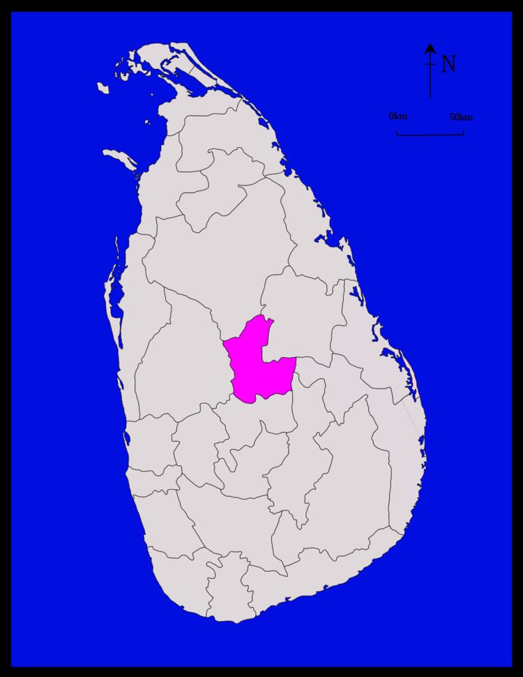
Matale District (Sinhalese: මාතලේ දිස්ත්රික්කය, Tamil: மாத்தளை மாவட்டம்) is a district in Central Province, Sri Lanka. Its area is 1,987 km².
Contents
- Map of Matale Sri Lanka
- Demographics
- Cities
- Big towns
- Small towns
- Other places
- Heritage Sites
- Lists of other tourist attractions in Matale District
- References
Map of Matale, Sri Lanka
Demographics
The population according to 2001 census is 441,328. 80.1% of the population are Sinhalese, 8.7% Sri Lankan Moors, 5.5% native Sri Lankan tamils and 5.3% tamils of Indian origin. 79% of the population are Buddhists, 9.6% Hindu, 9.1% Muslim and 2.3% Christian.
Cities
Big towns
Small towns
Other places
Heritage Sites
Lists of other tourist attractions in Matale District
References
Matale District Wikipedia(Text) CC BY-SA