
Area 867 km² | ||
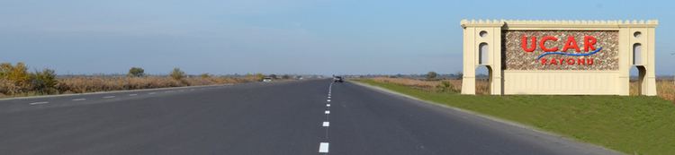 | ||
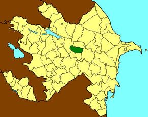
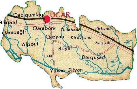
Ujar Rayon (Ucar Rayonu) is a rayon (administrative district) of Azerbaijan, situated to the south of Goycay, in the centre of the country. This region contains the Baku-Tbilisi-Ceyhan pipeline to the south of the Shirvan plain. There are 32 villages and 1 city in Ucar. The largest communities are Qazyan, Müsüslü and Qarabörk.
Contents
As of 2009, Ujar Rayon had an estimated population of 77,900 people, of which 22% were urban dwellers and 78% rural. The population is 99.7% Azerbaijanis.
History
The name Ucar derives from the Turkic word "Ucqar" meaning "remote", as Ucar was remote from the Shirvanshah capital at Baku, and on the frontier of the Shirvan state.
The Ujar Rayon was created on 24 January 1939 as an independent administrative unit from part of Goychay region.
Chief executives
Municipalities
Ujar Rayon is divided into twenty-nine municipalities.
- Ujar Municipality is coëxtensive with the city of Ucar
- Məlikballı Municipality
- Müsüslü Municipality
- Qarabörk Municipality
- Qazyan Municipality