
Local time Friday 2:54 AM | ||
 | ||
Weather 4°C, Wind W at 11 km/h, 77% Humidity | ||
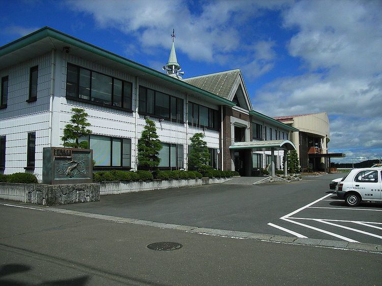
Uguisuzawa (鶯沢町, Uguisuzawa-chō) was a town located in Kurihara District, Miyagi Prefecture, Japan.
Contents
- Map of Uguisuzawa Kurihara Miyagi Prefecture 987 2200 Japan
- Geography
- Demographics
- History
- Rail
- Road
- Education
- Places of interest
- Notable persons from Uguisuzawa
- References
Map of Uguisuzawa, Kurihara, Miyagi Prefecture 987-2200, Japan
On April 1, 2005, Uguisuzawa, along with the towns of Ichihasama, Kannari, Kurikoma, Semine, Shiwahime, Takashimizu, Tsukidate and Wakayanagi, and the village of Hanayama (all from Kurihara District), were merged to create the city of Kurihara.
Geography
Uguisuzawa was located on the border between the Ōu Mountains and the Sendai plain. The Nihasama River starts here and runs through the town. The Namari River, a branch of the Nihasama also runs through Uguisuzawa.
Demographics
In October 1999, the town had an estimated population of 3,246.
The population as calculated in previous National Censuses was as follows.
History
The village of Uguisuzawa dated back to the Edo Period. It gained town status on April 1, 1951 by merging with nearby Fukuro Village. On April 1, 2005, Uguisuzawa was dissolved as a municipality, becoming part of the city of Kurihara.
Rail
Uguisuzawa was served by the Kurihara Den'en Railway Line, which closed in March of 2007 due to low ridership. Three stations on the line were located within Uguisuzawa: