
District Guntur PIN 522503 Area 4.31 km² | Time zone IST (UTC+5:30) Telephone code 91-8645 Population 1,503 (2011) | |
 | ||
Government body Andhra Pradesh Capital Region Development Authority | ||
After capital announcement uddandarayunipalem turns tourist place
Uddandarayunipalem is a neighbourhood and a part of Urban Notified Area of Amaravati, the state capital of the Indian state of Andhra Pradesh. It was a village in Thullur mandal of Guntur district, prior to its denotification as gram panchayat. It also hosted the foundation stone ceremony of Amaravati, on 22 October 2015, when Prime Minister Narendra Modi laid the foundation stone of Amaravati.
Contents
- After capital announcement uddandarayunipalem turns tourist place
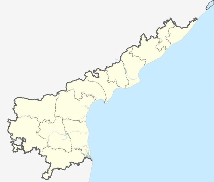
- Map of Uddandrayuni Palem Andhra Pradesh 522503
- Uddandarayunipalem getting ready for etv karthika deepothsavam live update from guntur
- Etymology History
- Transport
- References
Map of Uddandrayuni Palem, Andhra Pradesh 522503
Uddandarayunipalem getting ready for etv karthika deepothsavam live update from guntur
Etymology & History
Head of the Telugu Department of Nagarjuna University, Prof. Yarlagadda Balagangadhara Rao, in his book Navyandhra Rajadhani Prantha Gramala Charitra, mentions that king Kota Ketaraju of the Dhurjaya dynasty and ruler of Dharanikota built the village in memory of his father Uddandarayudu. The term ‘Uddanda’ means capable or robust. An inscription is available in Bejathapuram, a nearby village. As per some reports the history of the village dates back to the reign of Vijayanagara emperor Sri Krishnadevaraya. According to legend, Sri Krishnadevarya halted at Thullur on his way to invade Kondapalli Kota in Krishna district. Uddandarayunipalem may have been named after after Uddandaraya, a commander of Sri Krishnadevaraya.
Transport
Uddandarayunipalem is connected by the Vijayawada-Undavalli-Uddandarayunipalem Road (also known as Vijayawada–Amaravati Road). APSRTC operates buses on this route from Pandit Nehru bus station of Vijayawada.