
PIN 384001 Elevation 85 m Local time Thursday 7:18 PM | Time zone IST (UTC+5:30) Telephone code 91 2762 Area 10 km² Population 2,000 (2008) | |
 | ||
Weather 34°C, Wind S at 2 km/h, 22% Humidity | ||
Ucharpi is a village in Mehsana district in the Indian state of Gujarat. It is a village of Anjana Chaudhari situated on the bank of Khari river. Before independence, it was a part of Viramgam Taluka, therefore, the villagers of Ucharpi were called "Public of Viramgam". Ucharpi has many famous temples one of which Sankat Mochan Hanuman Mandir which is on the road of Chitroda Village.
Contents
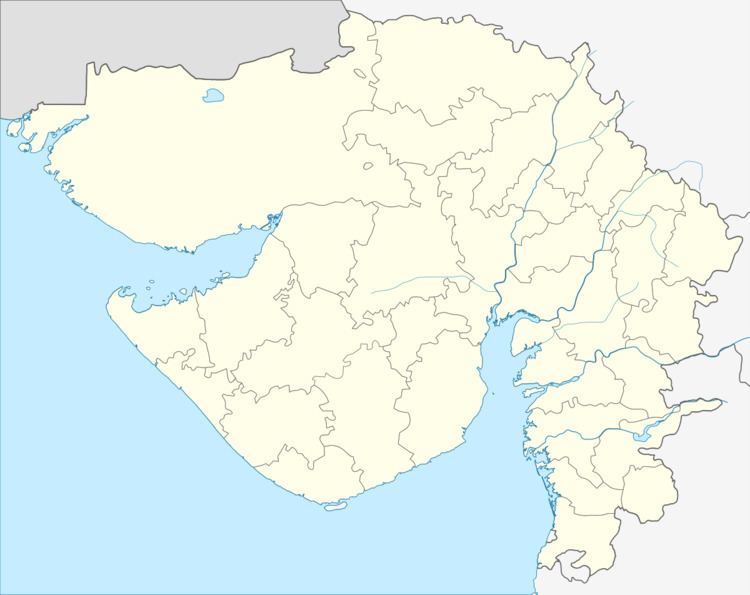
Map of Ucharpi, Gujarat 384001
Geography
Ucharpi is located at coord. It has an average elevation of 85 metres (279 feet). Ucharpi is 5 km from Mehsana city.
People
There are about 200 families dwelling in Ucharpi, and unofficially about 201 Sarpanch in the village. All of them having extra ordinary ability to be the CM of Gujarat lacking electoral support.
Ethnically there are three groups of people who came to inhabit here at different points of time. These are Anjana(આંજણા), Kumbhar and Harijans. Most of Anjana Chaudhari(આંજણા ચૌધરી) have come from Kheralu and they are farmer by occupation. Besides Ucharpi, you can found Anjana Chaudhari(આંજણા ચૌધરી) in Tavadia, Khara, Mevad, Chitrodipura etc. The gotras of Anjana Chaudhari(આંજણા ચૌધરી) of Ucharpi are Gujor(gurjar), Uplana, Deliya and Mansiya.
70% of these people are engaged in farming and cattle farming, 25% are in middle level jobs or dairy industries. There are 4.5% people either in higher-level jobs or middle level Industries. Remainining 0.25% are unemployed hardly working towards employment, and remaining 0.25% people are helping law and order situation in Mehsana.