
Native name Río Ubaté Length 49 km | Basin area 625 km² | |
 | ||
Etymology Muysccubun: "bloodied land" or "sower of the mouth" Main source Tausa3,550 m (11,650 ft) River mouth Lake FúqueneFúquene2,543 m (8,343 ft) | ||
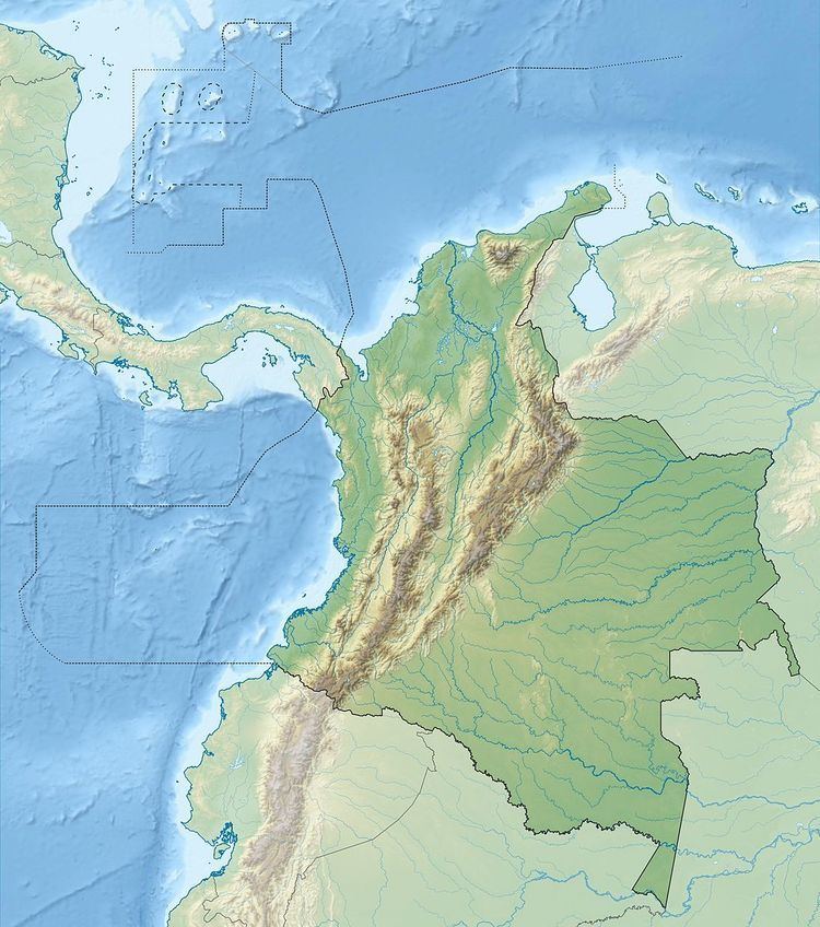
The Ubaté River is a river on the Altiplano Cundiboyacense, Cundinamarca, Colombia.
Contents
Map of R%C3%ADo Ubate, Cundinamarca, Colombia
Etymology
The name Ubaté comes from the native name "Ebate", in Muysccubun meaning "bloodied land" or "sower of the mouth".
Description
The Ubaté River originates as the confluence of the El Hato and La Playa Rivers. El Hato River originates in the municipality Tausa. The Ubaté River flows northward through the Ubaté-Chiquinquirá Valley and drains into Lake Fúquene, at the border with Boyacá.
References
Ubaté River Wikipedia(Text) CC BY-SA