
Founded 23 October 1846 Website Official website Area 505 km² Population 10,718 (2015) | Founded by Ospina Rodríguez Elevation 1,949 m Local time Thursday 7:49 AM | |
 | ||
Weather 16°C, Wind N at 3 km/h, 93% Humidity | ||
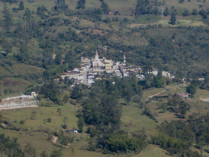
Ubalá is a municipality and town of Colombia in the department of Cundinamarca. It is located in the Eastern Ranges of the Colombian Andes. It is the only municipality of Cundinamarca that is split in two parts.
Contents
Map of Ubal%C3%A1, Cundinamarca, Colombia
Etymology
In the Chibcha language of the Muisca, Ubalá means "Place on the hillside" or "At the foot of the hillside".
History
The region west to Ubalá was inhabited by the Muisca before the Spanish conquistadores entered the Altiplano Cundiboyacense. To the east of Ubalá the indigenous Tegua were living and to the south the Guayupe.
Ubalá was properly founded on October 23rd, 1846 by Ospina Rodríguez.
Economy
Main economical activity of Ubalá is mining, predominantly emeralds, iron ore, sandstones, clay and salt.
References
Ubalá Wikipedia(Text) CC BY-SA