
Coat of arms Flag selsoviet 10 Founded 25 May 1925 | Administrative center selo of Tyukhtet Rural localities 34 Area 9,339 km² | |
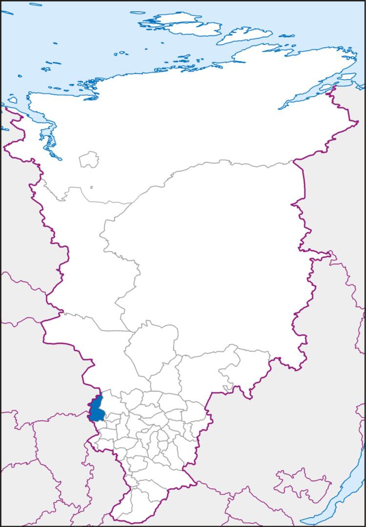 | ||
Tyukhtetsky District (Russian: Тюхте́тский райо́н) is an administrative and municipal district (raion), one of the forty-three in Krasnoyarsk Krai, Russia. It is located in the southwest of the krai and borders with Yeniseysky District in the north, Birilyussky and Bolsheuluysky Districts in the east, Bogotolsky District in the south, and with Kemerovo and Tomsk Oblasts in the west. The area of the district is 9,339 square kilometers (3,606 sq mi). Its administrative center is the rural locality (a selo) of Tyukhtet. Population: 8,858 (2010 Census); 10,386 (2002 Census); 12,814 (1989 Census). The population of Tyukhtet accounts for 54.1% of the district's total population.
Contents
Map of Tyukhtetsky District, Krasnoyarsk Krai, Russia
History
The district was founded on May 25, 1925.
Government
As of 2013, the Head of the district is Gennady P. Dzalba and the Chairman of the District Council is Viktor S. Petrovich.