
Area rank 300 in Norway Population 2,782 (1 Jan 2015) | Demonym(s) Tysnesing Local time Monday 8:52 PM | |
 | ||
Weather 3°C, Wind NW at 10 km/h, 91% Humidity Area 255.1 km² (245.2 km² Land / 9.94 km² Water) | ||
Welcome to tysnes
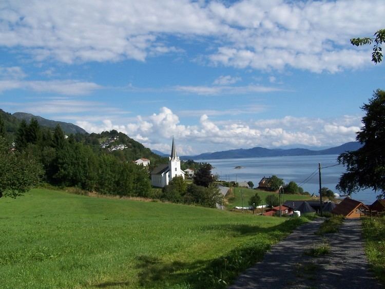
Tysnes is a municipality in Hordaland county, Norway. It is located in the traditional district of Sunnhordland. The administrative centre is the village of Uggdal. Other population centres in Tysnes include the villages of Våge and Onarheim. The island municipality is located in a group of islands near the mouth of the Hardangerfjorden. The majority of the municipal population lives on the island of Tysnesøya, the largest island in the municipality.
Contents
- Welcome to tysnes
- Map of Tysnes Norway
- Tysnes 2016
- General information
- Name
- Coat of arms
- Churches
- Government
- Municipal council
- Geography
- References
Map of Tysnes, Norway
Tysnes 2016
General information
The historic parish of Tysnæs was established as a municipality on 1 January 1838 (see formannskapsdistrikt). On 1 January 1907, the small portion of Tysnes located on the mainland (population: 67) was transferred to the neighboring municipality of Kvinnherad.
Name
The municipality (originally the parish) are named after the old Tysnes farm (Old Norse: Týsnes), since the first Tysnes Church was built here. The first element is the genitive case of the name of the god Tyr and the last element is nes which means "headland".
This is probably the only place in Norway named after the god Tyr. It is interesting to note that several place names around the farm also have sacred meanings: Ve (holy place), Helgastein (holy rock), Godøy (the god's island), and Vevatnet (the holy lake). The old name of the big island of Tysnesøy was Njarðarlǫg (the district of the god Njord). Recently, a sun phenomenon connected to the original Tysnes headland has been discovered, and this seems to be the starting-point of the sacral name complex.
Coat-of-arms
The coat-of-arms is from modern times. They were granted on 28 October 1971. The arms are derived from the seal of the medieval Onarheim guild. Onarheim is a village on the island of Tysnesøya. It was historically a Viking Age center of power in the Sunnhordland region. The village is now part of Tysnes municipality. The arms show two crossed silver axes on a blue background. There is a silver chevron above the axes which was added to the municipal arms to distinguish it from the medieval arms.
Churches
The Church of Norway has three parishes (sokn) within the municipality of Tysnes. It is part of the Sunnhordland deanery in the Diocese of Bjørgvin.
Government
All municipalities in Norway, including Tysnes, are responsible for primary education (through 10th grade), outpatient health services, senior citizen services, unemployment and other social services, zoning, economic development, and municipal roads. The municipality is governed by a municipal council of elected representatives, which in turn elect a mayor.
Municipal council
The municipal council (Kommunestyre) of Tysnes is made up of 21 representatives that are elected to every four years. For 2011–2015, the party breakdown is as follows:
Geography
The municipality consists of a group of islands, located south of the city of Bergen where the Hardangerfjorden and the coastal archipelago meet. The Bjørnafjorden lies north of the municipality and the Langenuen strait runs along the western side of the municipality. The largest of these islands, named Tysnesøya, can be reached from the mainland either by ferry to the village of Våge on the north side of the island or by the road bridge constructed on the eastern side of the island. The second largest island is Reksteren, which is connected to Tysnesøya by a small road bridge.