
Admin. region Oberbayern Area 20.54 km² Population 995 (31 Dec 2008) Dialling code 08623 | Elevation 520 m (1,710 ft) Local time Monday 8:20 PM Postal code 84558 | |
 | ||
Weather 9°C, Wind E at 10 km/h, 39% Humidity | ||
Gemeindefilm tyrlaching
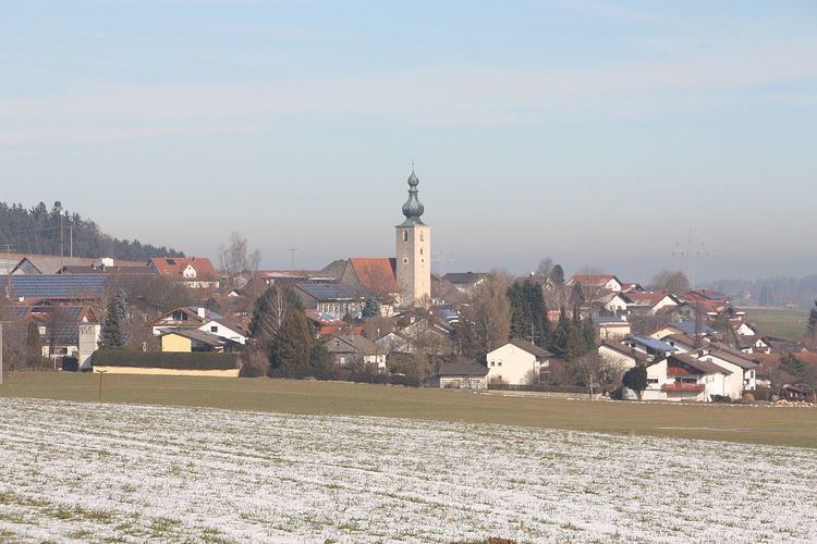
Tyrlaching is a municipality in the district of Altötting in Bavaria, Germany. It is part of the municipal association (Verwaltungsgemeinschaft) Kirchweidach.
Contents
- Gemeindefilm tyrlaching
- Map of 84558 Tyrlaching Germany
- Roidham tyrlaching emmering freutsmoos bayern deutschland 14 4 2015
- Geography
- History
- References
Map of 84558 Tyrlaching, Germany
Roidham tyrlaching emmering freutsmoos bayern deutschland 14 4 2015
Geography
Tyrlaching is situated on the northern edge of the historic Rupertiwinkel region, near the border with Austria. It is the district's southernmost municipality, located at the boundary with Traunstein district. The municipal area comprises the Rainbichl hill, with 544 metres (1,785 ft) the highest point of Altötting district, offering a panoramic view to the mountain chain of the Northern Limestone Alps in the south.
History
The settlement of Deolekingas in the German stem duchy of Bavaria was first mentioned about 790 AD, then a possession of St Peter's Abbey, Salzburg. Temporarily the seat of a local Amt administration of the episcopal lands, it became part of the immediate Prince-Archbishopric of Salzburg in the late 13th century.
Upon the German mediatization of 1803, Tyrlaching and the whole Rupertiwinkel region passed to the short-lived Electorate of Salzburg under Grand Duke Ferdinand III of Tuscany and fell to the newly established Austrian Empire according to the 1805 Peace of Pressburg. In 1809/10 Austria had to cede the Salzburg Rupertiwinkel to the Kingdom of Bavaria.
The Tyrlaching municipality was incorporated into Altötting district in the course of a 1972 administrative reform.