Country Canada Time zone Pacific (PST) (UTC-8) Local time Monday 3:10 AM | Area 3.57 km² Population 79 (2011) | |
 | ||
Weather -17°C, Wind E at 0 km/h, 84% Humidity | ||
Two Mile Village is an Indian settlement in southeast Yukon, Canada. It is located on the Robert Campbell Highway (Highway 4), approximately 12 km (7.5 mi) northwest of Watson Lake. The settlement is recognized as a census subdivision by Statistics Canada.
Contents
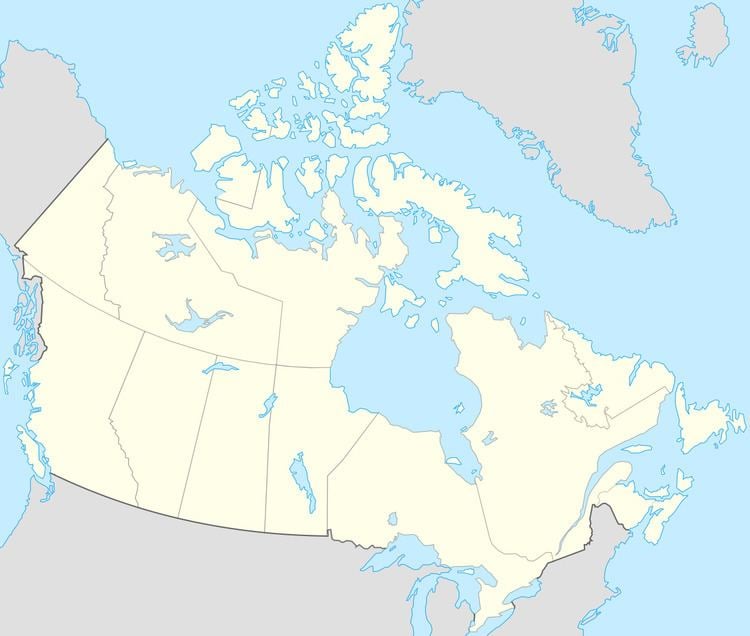
Map of Two Mile Village, Yukon, Canada
Demographics
In the 2011 Census, Statistics Canada originally reported that Two Mile Village had a population of 10 living in 5 of its 5 total dwellings, an -88.8% change from its 2006 population of 79. Statistics Canada subsequently amended the 2011 census results to a population of 79 living in 34 of its 37 total dwellings, a -10.2% change from 2006. With a land area of 3.57 km2 (1.38 sq mi), it had a population density of 22.13/km2 (57.3/sq mi) in 2011.
References
Two Mile Village Wikipedia(Text) CC BY-SA
