
Renamed 1 January 2003 Time zone CET (UTC+1) Local time Monday 7:50 AM | Established 1 January 2001 Elevation 10 m (30 ft) Postcode 7670–7677, 7680–7683 | |
 | ||
Weather 2°C, Wind NE at 5 km/h, 94% Humidity Points of interest Historisch Museum Vriezenveen, St Veenmus Vriezenveenseveld, Middendorpshuis, Engbertsdijksvenen | ||
Twenterand [ˈtʋɛntərɑnt] ( pronunciation ) is a municipality in the province of Overijssel in the eastern Netherlands. The name means "edge of Twente" as it is situated on the northwestern fringe of the historical region of Twente.
Contents
Map of Twenterand, Netherlands
The municipality of Twenterand also had two city halls, because of the merger between the former municipalities of Vriezenveen and Den Ham in 2001. The city hall in Vriezenveen remained. The extended municipality of Vriezenveen is called Twenterand since 2003. The former municipal area of Vriezenveen belongs to the region of Twente and the former municipal area of Den Ham partly to the region of Salland and partly to the region of Twente.
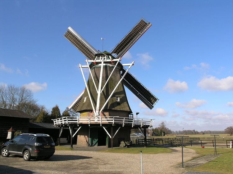
Population centres
Dutch topographic map of the municipality of Twenterand, June 2015
Transportation
References
Twenterand Wikipedia(Text) CC BY-SA