
- summer (DST) CEST (UTC+2) Local time Monday 3:25 AM | Area 34.91 km² | |
 | ||
Weather -1°C, Wind N at 11 km/h, 77% Humidity | ||
Turzovka is a town in the Čadca District, Žilina Region in north-western Slovakia.
Contents
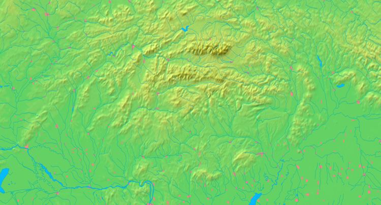
- Map of 023 54 Turzovka Slovakia
- Turzovka poutn m sto
- History
- Geography
- Demographics
- Twin towns Sister cities
- References
Map of 023 54 Turzovka, Slovakia
Turzovka poutn m sto
History
The present-day town was established in 1598 by a palatine of the Thurzó family. It gained town status in 1968.
Geography
Turzovka lies at an altitude of 471 metres (1,545 ft) above sea level and covers an area of 34.911 square kilometres (13.5 sq mi). It lies in the Kysuca river valley, surrounded by the mountain ranges of Beskydy and Javorníky.
Demographics
According to the 2010 census, the town had 7,802 inhabitants. The largest minority group were Czech 0.75% and Roma 0.27%. The religious make-up was 92.74% Roman Catholics and 0.2% Lutherans, most of others gave no affiliation.
Twin towns — Sister cities
Turzovka is twinned with:
References
Turzovka Wikipedia(Text) CC BY-SA