
Isolation 0.50 mi (0.80 km) Prominence 224 m Parent range Needle Mountains | Elevation 4,217 m | |
 | ||
Similar Pigeon Peak, Jagged Mountain, Teakettle Mountain, Half Peak, Gladstone Peak | ||
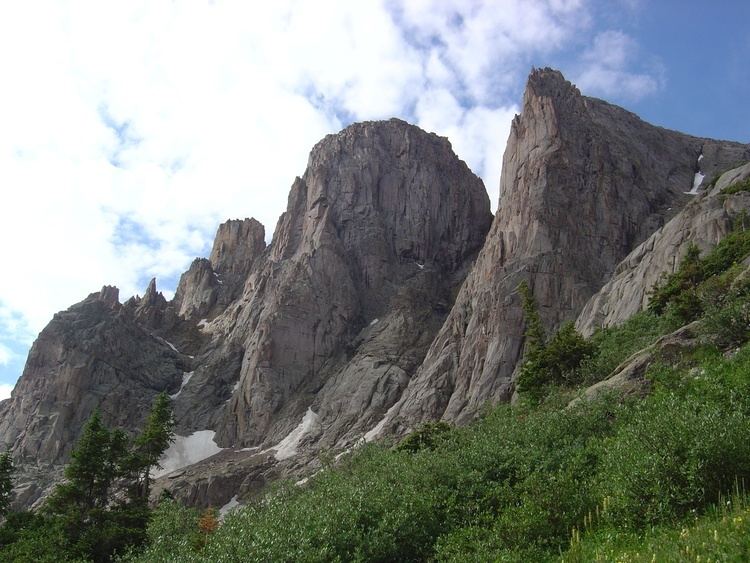
Turret Peak is a high peak of the Needle Mountains, a subrange of the San Juan Mountains in the southwestern part of the US State of Colorado. It rises on the east side of the Animas River, 0.5 miles (0.80 km) southeast of Pigeon Peak. It is located in the Weminuche Wilderness, part of the San Juan National Forest.
Map of Turret Peak, Colorado 81122, USA
Turret Peak is the 89th highest independent peak in Colorado.
References
Turret Peak (Colorado) Wikipedia(Text) CC BY-SA