
River mouth Indian Oceansea level Length 236 km | Basin size 4,555 km (1,759 sq mi) Basin area 4,555 km² Country Australia | |
 | ||
Main source Pullcunah Hill253 m (830 ft) | ||
The Turner River is a river in the Pilbara region of Western Australia.
Contents
Map of Turner River East Branch, Boodarie WA, Australia
Overview
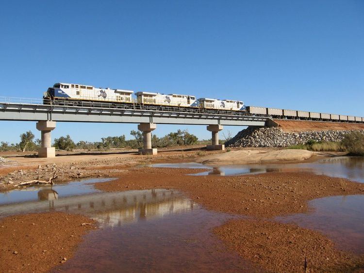
The headwaters of the river rise below Pullcunah Hill and flows in a northerly direction and crosses the North West Coastal Highway approximately 40 kilometres (25 mi) south of Port Hedland and discharging into the Indian Ocean. The riverbed is alluvial and highly braided
The river has three tributaries; Turner river East, Turner River West and Red Creek. It also flows through two large permanent pools; Kunagunarinna Pool and Moorambine Pool.
The mouth of the river is a large estuarine area that is mostly unmodified. The estuary functions primarily as a result of tidal energy. It covers a total area of 9.1 square kilometres (4 sq mi) which is mostly made up of salt-marsh with a small colony of mangroves.
Much of the river catchment is used for cattle (grazing); excess nutrients cause some eutrophication in some pools upstream. Some mining also occurs within the catchment area.
In 1952 Lang Hancock flew his plane low through the gorges in the Turner River to escape bad weather when he noticed the red ochre coloration of the rocks and thought it could be a significant deposit of Iron Ore. He later returned to collect samples which he duly had tested and discovered he had found a huge deposit of high grade ore.