
Peak Skyline Drive Elevation 242 m | Country United States Phone +1 562-945-9003 | |
 | ||
Similar Puente Hills, Hellman Park, Peter F Schabarum Regional, Powder Canyon, Pio Pico State Historic P | ||
5 scary legends accidents of turnbull canyon gates of hell
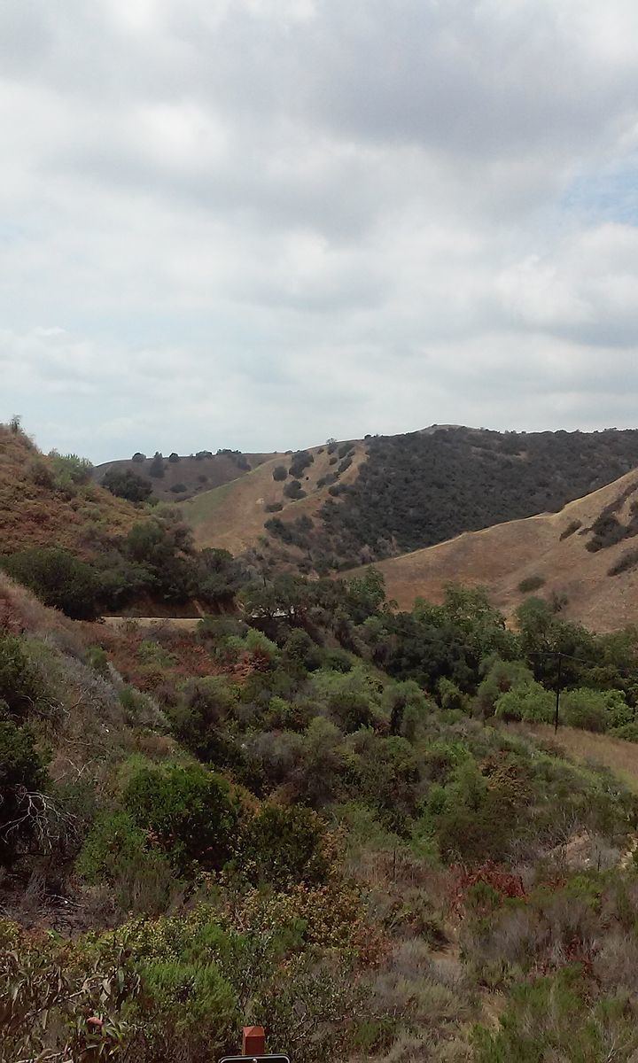
Turnbull Canyon is a 4 mile loop trail located near Whittier, California and is part of Puente Hills Preserve. It lies in the northern-central part of the preserve, and is an east-west canyon with relatively steep drainage. The canyon has a creek at its bottom that supports a narrow strip of riparian woodland dominated by sycamore trees, while the slopes are covered in coastal sage and native and non-native grasses.
Contents
- 5 scary legends accidents of turnbull canyon gates of hell
- How the canyon got its name a forgotten tale of turnbull canyon
- ClimateEdit
- AttractionsEdit
- References
How the canyon got its name a forgotten tale of turnbull canyon
ClimateEdit
The climate in Turnbull Canyon is typical of Southern California, semi-arid. Because the Whittier Hills has a relatively close proximity to the ocean, which has an equalizing effect on the climate, it is somewhat cooler here than some of the areas just south of the region. During the winter months, it is not uncommon to see frost on the ground and during summer, it rarely gets hotter than 95 degrees.
AttractionsEdit
Turnbull Canyon is known for the view it provides of the Hsi Lai Temple and Rose Hills Memorial Park. It has also been the source of rumors regarding paranormal activities and was the scene of the discovery a then-missing person's body.