Elevation 550 m (1,800 ft) Postal code 48540 Local time Sunday 9:31 PM Area code 0252 | Time zone EET (UTC+2) Licence plate 48 Population 2,065 (2010) | |
 | ||
Weather 12°C, Wind S at 5 km/h, 76% Humidity | ||
Turgut is a town in Muğla Province, Turkey.
Contents
- Map of Turgut YeC59FilbaC49FcC4B1lar Mahallesi 48540 YataC49Fan2FMuC49Fla Turkey
- Geography
- History
- Economy
- References
Map of Turgut, Ye%C5%9Filba%C4%9Fc%C4%B1lar Mahallesi, 48540 Yata%C4%9Fan%2FMu%C4%9Fla, Turkey
Geography
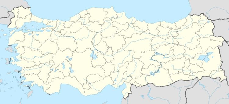
Turgut is in Yatağan district of Muğla Province. The town is situated at 37°22′N 28°02′E. The distance to Yatağan is 13 kilometres (8.1 mi) and to Muğla is 39 kilometres (24 mi). The population of the town is 2,065 as of 2010.
History
The ruins of the ancient cult cite Lagina is around Turgut and the alternative name of the town Leyne may be a corrupt form of Lagina. The town also houses an old mosque which is claimed to be built by İlyas Bey of Menteşe Beylik in 1311. Another building of historical importance is the mansion of Osman Hamdi Bey who stayed in Turgut between 1891-1893 during Lagina excavations. His house which is now restored is proposed to be a museum.
Economy
Main economic activity of the town is agriculture. Cereals and olive are the most important crops. There are some olive oil factories. There is a lignite mine around the town . The lignite is used in Yatağan Thermal Power Plant.
