
Location Argentina-Chile Volcanic arc/belt South Volcanic Zone Last eruption 1987 Parent range Andes | Mountain type Stratovolcano Elevation 5,660 m Mountain range Andes | |
 | ||
Similar Descabezado Grande, Maipo, Tupungato, Irruputuncu, Cerro del Azufre | ||
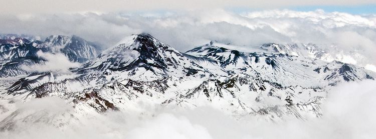
Volcán Tupungatito is the northernmost historically active stratovolcano of the southern Andes. It lies on the border between Argentina and Chile, about 99 km (62 mi) east of Santiago, Chile, and immediately southwest of the massive Cerro Tupungato stratovolcano. Its name is a diminutive homonym, and means Little Tupungato.
Contents
- Map of Tupungatito San JosC3A9 de Maipo Santiago Metropolitan Region Chile
- Tupungatito actividad volc nica
- References
Map of Tupungatito, San Jos%C3%A9 de Maipo, Santiago Metropolitan Region, Chile
Tupungatito actividad volc nica
References
Tupungatito Wikipedia(Text) CC BY-SA