
Time zone CST (UTC-6) | Area code 662 | |
 | ||
Area 3,869 km² (3,831 km² Land / 41.44 km² Water) | ||
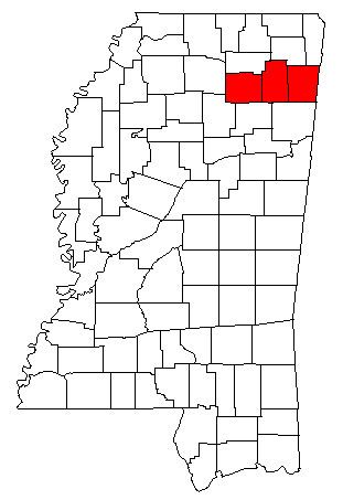
The Tupelo Micropolitan Statistical Area is a micropolitan area in northeastern Mississippi that covers three counties - Itawamba, Lee and Pontotoc. As of the 2000 census, the μSA had a population of 125,251 (though a July 1, 2009 estimate placed the population at 134,161).
Contents
Counties
Cities
Towns
Unincorporated places
Demographics
As of the census of 2000, there were 125,251 people, 48,070 households, and 34,881 families residing within the μSA. The racial makeup of the μSA was 79.37% White, 18.98% African American, 0.16% Native American, 0.37% Asian, 0.01% Pacific Islander, 0.47% from other races, and 0.64% from two or more races. Hispanic or Latino of any race were 1.27% of the population.
The median income for a household in the μSA was $33,125, and the median income for a family was $39,929. Males had a median income of $29,781 versus $21,495 for females. The per capita income for the μSA was $16,523.