Country United States ZIP code 38857 Area 7.236 km² Population 94 (2010) | Time zone Central (CST) (UTC-6) Area code(s) 662 Elevation 120 m Local time Saturday 7:52 AM | |
 | ||
Weather 15°C, Wind W at 5 km/h, 91% Humidity | ||
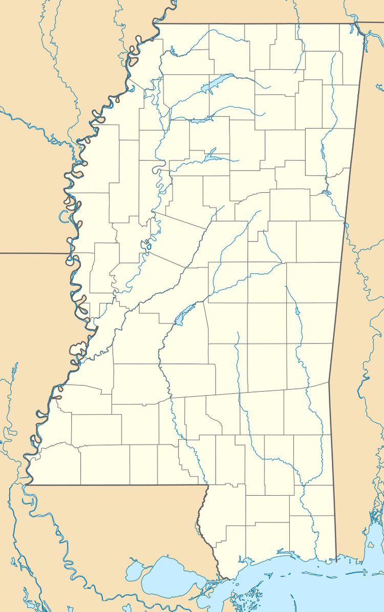
Mooreville is a census-designated place located in Lee County, Mississippi. It is part of the Tupelo Micropolitan Statistical Area. Mooreville is approximately 4 miles (6.4 km) west of Dorsey and approximately 4 miles (6.4 km) east of Tupelo on Mississippi Highway 178 near Interstate 22. It was named for the Moore family, its first settlers.
Map of Mooreville, MS 38857, USA
Although an unincorporated community, Mooreville has a post office and a zip code (38857).
References
Mooreville, Mississippi Wikipedia(Text) CC BY-SA
