Airport type Public Elevation AMSL 346 ft / 105 m 18/36 6,502 Elevation 105 m | Website www.FlyTupelo.com Code TUP Phone +1 662-841-6570 | |
 | ||
Address 2763 W Jackson Street Extended, Tupelo, MS 38801, USA | ||
Tupelo regional airport
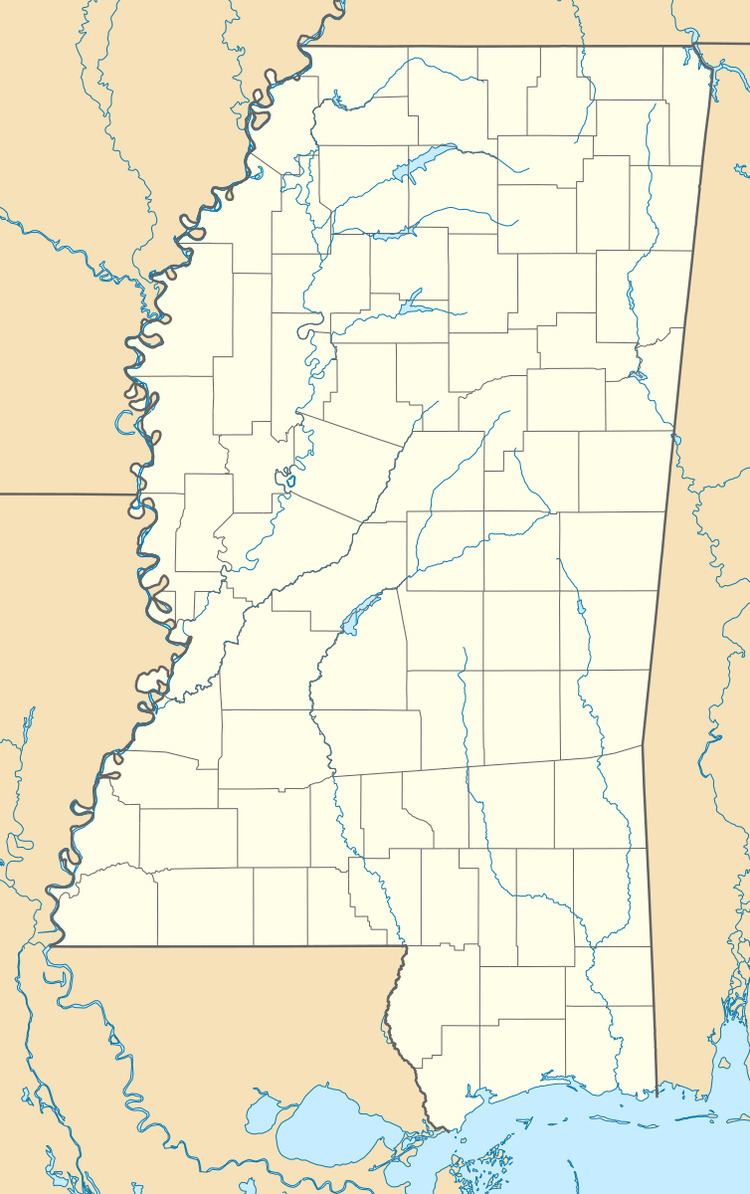
Tupelo Regional Airport (IATA: TUP, ICAO: KTUP, FAA LID: TUP) is a public use airport located three nautical miles (6 km) west of the central business district of Tupelo, a city in Lee County, Mississippi, United States. It is owned by the Tupelo Airport Authority. The airport is mostly used for general aviation, but is also served by one commercial airline with scheduled passenger service subsidized by the Essential Air Service program. Many college football teams visiting the University of Mississippi (Ole Miss), 49 miles west in Oxford, fly into Tupelo.
Contents
As per the Federal Aviation Administration, this airport had 15,985 passenger boardings (enplanements) in calendar year 2008, 13,319 in 2009, and 12,749 in 2010. The National Plan of Integrated Airport Systems for 2011–2015 categorized it as a primary commercial service airport.
Facilities and aircraft
Tupelo Regional Airport covers an area of 1,061 acres (429 ha) at an elevation of 346 feet (105 m) above mean sea level. It has one runway designated 18/36 with an asphalt surface measuring 6,502 by 150 feet (1,982 x 46 m).
For the 12-month period ending December 31, 2011, the airport had 50,916 aircraft operations, an average of 139 per day: 56% general aviation, 38% military, 6% air taxi, and <1% scheduled commercial. At that time there were 68 aircraft based at this airport: 35% single-engine, 22% multi-engine, 9% jet, 3% helicopter, and 31% military. An additional primary function of the airport is to serve as an aircraft boneyard, including scrapping, parts recycling and aircraft storage.
