
Time zone PST (UTC+5) | ||
 | ||
Neighborhoods Soomra Mohala, Khad Wara Noohpota, Khooh wara Noohpota | ||
Aag per matam tunia baqa shah kandiaro
Tunia Baqa Shah(Urdu: تنیہ بقاشاھ), is a village in the Naushahro Feroze District, of Sindh, Pakistan. It is located at about 16 km northeast of Kandiaro and 9 km northwest of Halani.
Contents
- Aag per matam tunia baqa shah kandiaro
- Map of Tunia Baqa Shah Pakistan
- Castes
- Village Economy
- Government Institutions
- References
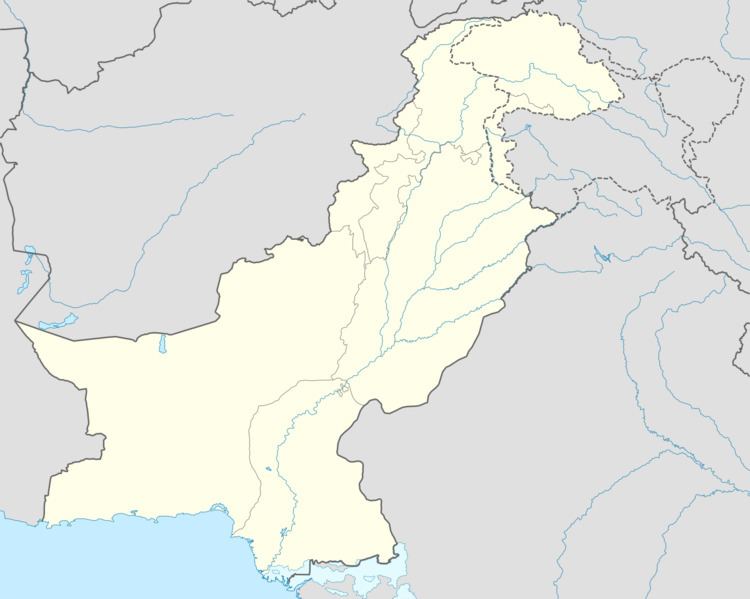
Map of Tunia Baqa Shah, Pakistan
Castes
The people of the village belong to various castes and baradari systems. However, the majority of people living in the village are Sindhi speaking. Punjabi is only spoken by the Malak baradari. The Malak baradari had settled to Tunia Baqa Shah during the independence of Pakistan in 1947 when Hindus moved to cities or migrated to India. Before the independence, Hindus were settled in large number in the village. Following are the major baradaris of the village.
Village Economy
The agriculture is the main source of income for the village people. The land around the village is very fertile. Wheat and cotton are the two major crops. However, rice, sugarcane and other seasonal crops are also grown to run the wheel of the village economy. Farmers usually sell their agricultural products to local brokers and traders who work as intermediary and make their profits by selling to the markets in bulk quantities.