
Administrative center selo of Verkh-Usugli Rural localities 16 | Urban-type settlements 1 Area 50,400 km² | |
 | ||
Municipally incorporated as | ||
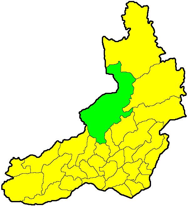
Tungokochensky District (Russian: Тунгокоченский райо́н) is an administrative and municipal district (raion), one of the thirty-one in Zabaykalsky Krai, Russia. It is located in the central northern part of the krai, and borders with Kalarsky District in the north, Tungiro-Olyokminsky District in the east, and with Chernyshevsky District in the south. The area of the district is 50,900 square kilometers (19,700 sq mi). Its administrative center is the rural locality (a selo) of Verkh-Usugli. Population: 12,685 (2010 Census); 14,207 (2002 Census); 19,357 (1989 Census). The population of Verkh-Usugli accounts for 20.7% of the district's total population.
Contents
Map of Tungokochensky District, Zabaykalsky Krai, Russia
History
The district was established on September 21, 1938.
References
Tungokochensky District Wikipedia(Text) CC BY-SA