
Country Canada Elevation 101 m Local time Sunday 3:13 AM | Hamlet 1 April 1984 Population 478 (2011) Area code 867 | |
 | ||
Weather -16°C, Wind N at 10 km/h, 81% Humidity | ||
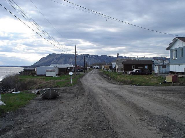
Tulita, which in Dene language means "where the rivers or waters meet," is a hamlet in the Sahtu Region of the Northwest Territories, Canada. It was formerly known as Fort Norman, until 1 January 1996. It is located at the junction of the Great Bear River and the Mackenzie River; the Bear originates at Great Bear Lake adjacent to Deline.
Contents
- Map of Tulita NT Canada
- History
- Demographics
- Transport and tourism
- First Nations
- Notable people
- References
Map of Tulita, NT, Canada
Tulita is in an area that is forested and well south of the tree line. Permafrost underlays the area, more or less continuous in distribution. Tulita is surrounded by mountains, the latter renowned for Dall's sheep, and faces the Mackenzie Mountains to the west, which has mountain goats.
History
Fort Norman originated as a Hudson's Bay Company trading post in the 19th century and has occupied a number of geographical locations prior to the settling of the modern community. A post by the name of Fort Norman occupied several locations, on the Mackenzie River, on the islands within it, on Bear River, and on the shore of Great Bear Lake near the present location of Deline. Who the name 'Norman' commemorates is unclear, but it may have been either Alexander Norman McLeod or Archibald Norman McLeod, both of whom were prominent in the northwest in the early 19th century.
Between 1863 and 1869, Fort Norman was located on Great Bear Lake, a short distance west of what later became Deline (Fort Franklin), and was an HBC post commanded by Nichol Taylor. Roman Catholic missionary Emile Petitot operated a small mission here during that period. In 1869, Nichol Taylor moved Fort Norman to its present position at the confluence of the Mackenzie and Bear Rivers.
Fort Norman rose to importance during the 1920s oil staking rush along the Mackenzie River, 50 km (31 mi) downstream of the community, where oil was developed and marketed at what became known as Norman Wells. It has also become a permanent settlement for predominately Sahtu Dene people on whose traditional land the original trading post was built. In 1996, the name of Fort Norman was officially changed to Tulita, which translates in Dene to "where the rivers or waters meet."
Demographics
The population in 2011 was 478 and was predominantly Sahtu Dene (75.2%) who speak English and North Slavey. In 2012 the Government of the Northwest Territories reported that the population was 567 with an average yearly growth rate of 1.4% from 2001. The community also includes Métis and non-Aboriginal (both 9.9%) as well as 3.0% Inuit and 2.0% other Aboriginal.
Transport and tourism
Tulita may be reached via air year-round, and is served by Tulita Airport; Norman Wells is the regional centre and the site of origin of the majority of flights in. A winter road links Tulita to Wrigley and thence the Mackenzie Highway, and is only open in mid- to late winter. Summer access is available by barge or by canoe, from Hay River along the Mackenzie River. The NWT government is seeking federal funding to extend the Mackenzie Highway from Wrigley through Tulita to Tsiigehtchic.
Amenities consist of a hotel, Northern Store, Royal Canadian Mounted Police detachment, and a nursing station. Chief Albert Wright School teaches grades K-12 while the hamlet has a library, arena, recreation hall, and fitness centre.
First Nations
Tulita is represented by the Begade Shotagotine First Nation and belong to the Sahtu Dene Council. Through the council they are in negotiations with the Government of Canada for a land claims settlement. They are also part of the Dehcho First Nations listed as the Begaee Shuhagot'ine.