
- elevation 186 m (610 ft) Length 113 km Discharge 528 m³/s | - elevation 60 m (197 ft) Basin area 156,500 km² Basin area 156,500 km² Country Canada | |
 | ||
- average 528 m/s (18,646 cu ft/s) - max 995 m/s (35,138 cu ft/s) | ||
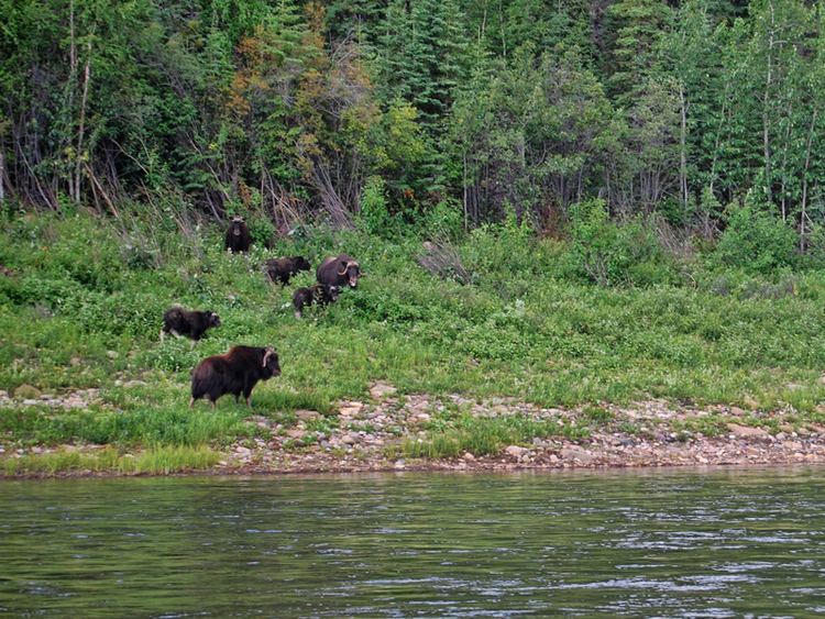
The 113-kilometre (70 mi) long Great Bear River, which drains the Great Bear Lake westward through marshes into the Mackenzie River, forms an important transportation link during its four ice-free months. It originates at south-west bay of the lake. The river has irregular meander pattern 350-metre (1,150 ft) wide channel with average depth 6 metres (20 ft). Historic air photos show no evidence of bank erosion or channel migration in a 50-year period.
Contents
Map of Great Bear River, Tulita, NT, Canada
The low discharge rate is due to small amount of precipitation in watershed area. Great Bear River contained open reaches that had melted out in place over 80 percent of its length in 1972 and 1974.
The settlement of Tulita is located at the mouth of the river.
TributariesEdit
The tributaries of the Great Bear River include;