
Elevation 264 m | Time zone IST (UTC+5:30) Website purulia.gov.in | |
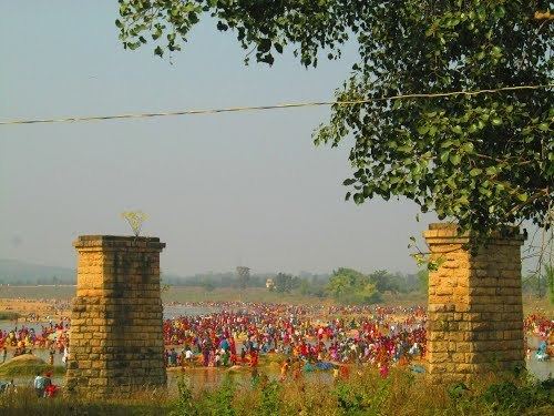 | ||
Tulin a small town of Purulia District situated near the state of Jharkhand.
Map of Tulin, West Bengal 723212
Tulin is a Semi town, located in the western border of the Indian state of West Bengal. According to Census 2011 information the location code of Tulin village is 331279.Tulin village is located in Jhalda Block of Puruliya district in West Bengal, India. It is situated 11.6 km away from sub-district headquarter Jhalda and 54.8 km away from district headquarter Purulia. The total geographical area of village is 761.94 hectares. Tulin is surrounded by a range of hills and encircled by Subarnarekha river. Nearest City and railway station is Muri(Jharkhand), and nearest Big town is Ranchi situated 65 kilometer west of the Tulin. This town is surrounded by Subarnarekha River.