Vehicle registration AP | Time zone IST (UTC+5:30) Elevation 469 m | |
 | ||
Tuggali is a mandal in Kurnool district of Andhra Pradesh, India.Tuggali is a village of merely 5000 population and has a government high school and a private school as well where studies up to 10th class is offered. There is a private college also in the name of A. S. Junior & degree college.
Contents
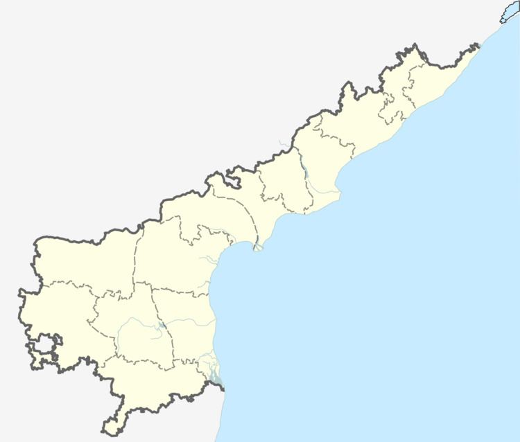
Map of Tuggali, Andhra Pradesh 518390
Geography
Tuggali is located at 15.3333°N 77.5500°E / 15.3333; 77.5500. It has an average elevation of 469 meters (1541 feet).
References
Tuggali Wikipedia(Text) CC BY-SA
