
Length 74 km Country United States of America | ||
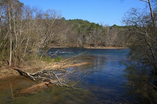 | ||
Aerial shots of twin falls issaqueena lake and the old tugaloo river bridge
The Tugaloo River (originally Tugalo River) is a 45.9-mile-long (73.9 km) river bordering the U.S. states of Georgia and South Carolina. It is fed by the Tallulah River and the Chattooga River, which each form an arm of Lake Tugalo, on the edge of Georgia's Tallulah Gorge State Park. The Tugaloo then flows out of the lake via Tugaloo Dam, passing into Lake Yonah and through Yonah Dam. The river then ends as an arm of Lake Hartwell, as does South Carolina's Seneca River. After flowing out of Lake Hartwell, it is called the Savannah River.
Contents
- Aerial shots of twin falls issaqueena lake and the old tugaloo river bridge
- Map of Tugaloo River South Carolina USA
- References
Map of Tugaloo River, South Carolina, USA
Territorial claims to the river and its islands were settled with the Treaty of Beaufort in 1787, as interpreted in the two Georgia v. South Carolina cases before the U.S. Supreme Court in 1922 and 1989. The river is one of the boundaries of the Treaty of Hopewell.
The river's watershed is home to some of the most challenging whitewater in the Southeast, luring sport kayakers and canoeists from all over the country.
The name of the river comes from Tugaloo (ᏚᎩᎷᏱ), a Cherokee town that was located on the river near the mouth of Toccoa Creek.