
Country | ||
 | ||
Languages spoken Time zone, IST, UTC+5:30 | ||
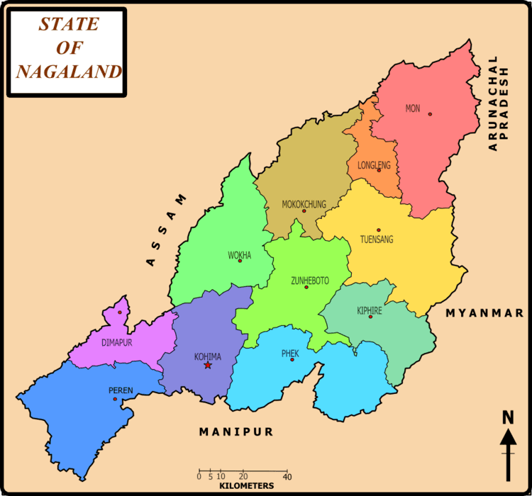
Map of Tuensang
Tuensang (Pron:/ˌtjuːənˈsæŋ/) is a town in Nagaland, India. It is the headquarters of the Tuensang district, the easternmost and the largest district of Nagaland, bordering with Myanmar. The town was founded in 1947 for the purpose of administrating the erstwhile North Eastern Frontier Agency (NEFA) that comprised the present day Tuensang, Mon, Longleng and Kiphire districts. Nowadays, these four districts combined together are also known as Eastern Nagaland.
Contents
- Map of Tuensang
- Endless a documentary tuensang nagaland
- History
- Geography
- Demographics
- Educational institutions
- Public utilities
- References
Endless a documentary tuensang nagaland
History
The Tuensang area was originally made up of all the present four districts of Eastern Nagaland. Even after the British conquest of India, the Tuensang tribal region remained unadministered due to lack of sufficient men and money. However in 1902, the area was brought under the nominal control of the British. It was called Tribal Area and was administered by the Governor General of India. In 1948, a separate division called Tuensang Administrative Circle was created.
When the Constitution of India was first released in 1950, Tuensang Division was placed in "Part B" category of tribal districts as per the Sixth Schedule. It became part of the North-East Frontier Agency (NEFA). Subsequently in 1957, it was merged with the Naga Hills District to form a new administrative unit under the Ministry of External Affairs. After negotiation with the secessionists, this administrative unit was later made a full-fledged state called Nagaland.
Geography
Tuensang is located at 26.28°N 94.83°E / 26.28; 94.83. It has an average elevation of 1371 metres (4498 feet).
Demographics
As of 2001 India census, Tuensang had a population of 29,654. Males constitute 56% of the population and females 44%. Tuensang has an average literacy rate of 71%, higher than the national average of 59.5%: male literacy is 74%, and female literacy is 67%. In Tuensang, 13% of the population is under 6 years of age.
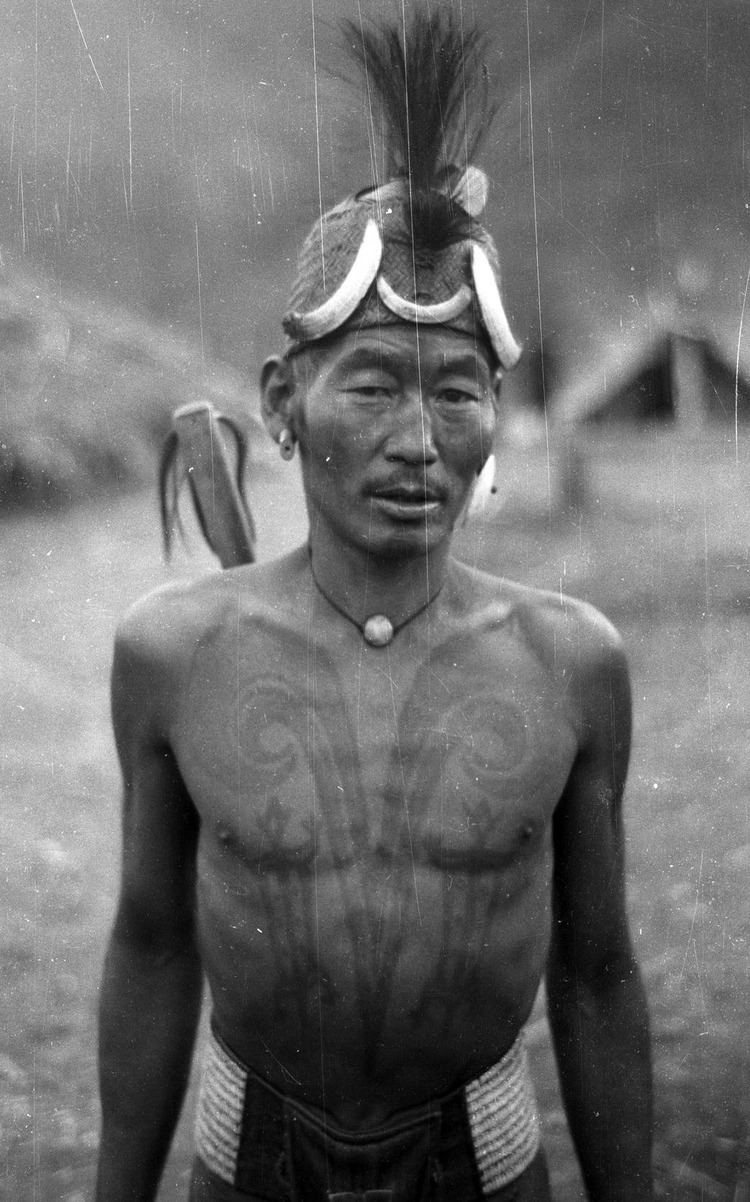
Tuensang is one of the largest urban centres in Nagaland along with Dimapur, Kohima and Mokokchung. The landowners/permanent tribes of the district are Changs, Sangtams, Yimchungers and Khiamniungans. The Tuensang town serves as a nerve center of the eastern part (which comprises four districts, i.e., Tuensang, Mon, Kiphire and Longleng with six major tribes) of Nagaland state.
Tuensang town is the headquarters to apex organisations such as Eastern Nagaland Peoples' Organisation (ENPO), Eastern Naga Students' Federation (ENSF), Khiamniungan Tribal council (KTC), Chang Khulei Setshang (CKS), Confederation of Chang Students' Union (CCSU), Chang Baptist Lashong Thangyen (CBLT), Eleutheros Christian Society (ECS), Eastern Farming Association, etc.
Educational institutions
Public utilities
The district has a functional 100-bed Civil Hospital which has been upgraded to Regional Diagnostic Center (RDC) but is yet to be operationalised. The district has an agriculture science center known as KVK, an undertaking of the government of India, badminton stadium, town hall and a public ground. The "Longpang Project," a program managed by Eleutheros Christian Society (ECS) in collaboration with government and private agencies, near Hakchang Village, has one health center which runs the only rehabilitation center in the district that takes care of AIDS patients and drug addicts.
The National Highways 155 passes through the district, linking Mokokchung (NH-61 junction) and Jessami (NH-150 junction) via Tuensang Town, covering a distance of 342 km. Recently the ongoing work on NH-155 came under severe criticisms from the public led by Eastern Naga Students' Federation for alleged poor workmanship, non-adherence to contract norms by the contractors, and lackadaisical attitude of the Nagaland Public Works Department.