
State Nagaland Seat Kiphire ISO 3166 code IN-NL-PE Elevation 896 m | Country India Time zone IST (UTC+05:30) Population 74,033 (2011) | |
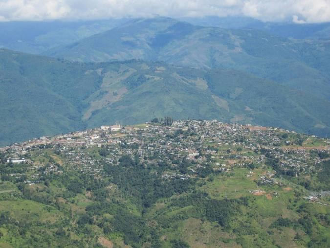 | ||
Kiphire (Pron:/ˈkɪfɑɪə/) is the newly formed ninth district of Nagaland which was carved out of Tuensang district. As of 2011 it is the second least populous district of Nagaland (out of 11), after Longleng.
Contents
Map of Kiphire, Nagaland 798611
Geography
It is bounded by Tuensang District in the north, Phek district in the west and Myanmar in the east. It is headquartered at Kiphire, which is at an altitude of 896 m above sea level. The major towns of this district are Seyochung, Sitimi, Pungro and Kiphire. Saramati (3,841 m), highest peak in Nagaland, is located in this district. Kiphire also has an earth station. Kisatong village is another tourist destination in the district.
Demographics
According to the 2011 census Kiphire district has a population of 74,033, roughly equal to the nation of Dominica. This gives it a ranking of 625th in India (out of a total of 640). Kiphire has a sex ratio of 961 females for every 1000 males, and a literacy rate of 71.1%.
Sangtam(Eastern), Yimchunger and Sema are the predominant tribes.