
Constructed 2 February 2002 | Length 2.2 km District Kwai Tsing District | |
 | ||
Existed: February 2, 2002 – present History: Construction began in February 1999 West end: Route 3 / Route 8 near Shek Wan | ||
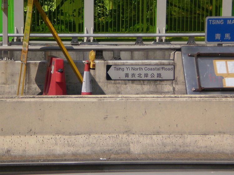
Tsing Yi North Coastal Road, also abbreviated as TYNCR, (Chinese: 青衣北岸公路; Jyutping: cing1 ji1 bak1 ngon6 gung1 lou6; pinyin: Qīngyī Běi'àn Gōnglù) is a dual carriageway in Tsing Yi, Hong Kong. The road starts at Tsing Tsuen Road, where it travels through the northern part of the island. It ends at Route 3 and Route 8 on the western side of the island at a left-in/left-out interchange, 2.2 kilometres (1.4 mi) from its eastern terminus. The road was first planned in 1998 to relieve traffic coming from Lantau. It was constructed in 1999, and was opened in February 2002.
Contents
Map of Tsing Yi North Coastal Rd, Tsing Yi, Hong Kong
Description
The road starts at the border of the Tsing Ma Control Area, on the eastern exit ramps of the Tam Kong Shan Interchange and the western terminus of Tsing Tsuen Road. The road travels westward, with ramps reemerging from the interchange, which is surrounded by noise barriers. TYNCR then travels across multiple viaducts on the northern side of Tsing Yi, with hills south of the road, and the coastline north of it. About 1.4 kilometres (0.87 mi) from the eastern terminus, TYNCR travels to Tam Kong Shan Road, near a shipyard and a cement factory. The exit ramp is accessible from westbound lanes, and the entrance ramp from Tam Kong Shan Road to eastbound lanes. The road continues eastward and ends at a left-in/left-out intersection, located east of the Lantau Link Visitors Centre. The interchange then connects to Routes 3 and 8.
In 2014, 15,240 vehicles traveled the road between Tam Kong Shan Road interchange and Tsing Tsuen Road. It is measured in average annual daily traffic (AADT), which measures the amount of traffic daily on average. The road is classified as a District Distributor by the Transport Department.
History
Planning for the road began around 1996, as part of the Tsing Ma Control Area, a small region of highways with special management. The road was to relieve the higher traffic traveling through Tsing Yi, especially with the new Hong Kong International Airport and developments in Lantau being built. The project included the road and its ramps, pedestrian pathways, noise barriers around the highway, surveillance system, and a maintenance centre in Tsing Yi. The Highways Department signed a contract with Gammon Construction Limited for HKD$775.6 million in February 1999, after it invited qualified contractors in October 1998. Construction began later that month.
During construction, techniques were used to prevent air pollution. Water was sprayed on roads, vehicles, and other areas to keep dust from leaving the site. Multiple viaducts, road embankments, and retaining walls were constructed in the project, with a set of walls replaced after its footings were damaged. Construction of the traffic control system began in November 2000, after the Transport Department signed an agreement with ABB Industrial and Building Systems Limited. The road was opened on February 2, 2002, after Donald Tsang inaugurated the road in a ceremony on February 1. New speed limits were set to 70 kilometres per hour (43 mph) upon opening.
Major intersections
The entire road is in Kwai Tsing District.