
Area 23.19 km² Population 3,826 (2007) | Canton Levet Time zone CET (UTC+1) Local time Saturday 4:16 PM | |
 | ||
Weather 17°C, Wind E at 14 km/h, 58% Humidity | ||
Trouy is a commune in the Cher department in the Centre region of France.
Contents
Map of 18570 Trouy, France
Geography
An area of farming and a little light industry, comprising the village, several hamlets and a suburb situated just 4 miles (6.4 km) south of Bourges city centre, at the junction of the D31, D73 and the D107 roads. The A71 autoroute passes through the commune along with the N144 and N142 roads.
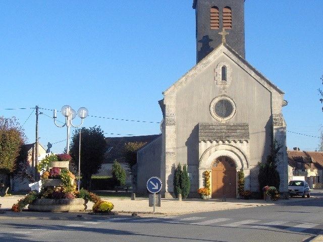
Sights
References
Trouy Wikipedia(Text) CC BY-SA