
Founded 1674 Time zone EET (UTC+2) Area 7.43 km² | Elevation 50 m (160 ft) Postal code 93710 | |
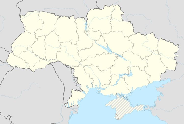 | ||
Trokhizbenka (Ukrainian: Трьохізбенка; Russian: Трёхизбенка) is a village in Novoaidar Raion (district) in Luhansk Oblast of eastern Ukraine, at about 25 km NW from the centre of Luhansk city, on the left bank of the Siverskyi Donets.
Contents
Map of Tr'okhizbenka, Luhansk Oblast, Ukraine
History
The settlement was founded by the Don Cossacks in the first half of the 17th century.
War in Donbass
The village was occupied by pro-Russian troops in the spring of 2014. On 11 July 2014 Ukrainian troops took the village under their control and set up a checkpoint near the bridge over the river. The bridge was blown up on 3 September 2014. The war has brought along both civilian and military casualties.
Demographics
Native language as of the Ukrainian Census of 2001:
References
Trokhizbenka Wikipedia(Text) CC BY-SA