
Country Area 26.4 km2 | ||
 | ||
Map of Triesen
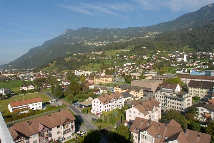
Triesen is the third largest of Liechtenstein's municipalities. It contains several historic churches dating from the fifteenth century. It also has a weaving mill from 1863 that is considered a historical monument. The population is around 5,000.
Contents
- Map of Triesen
- Magic tricks for the dinner table a routine idea for dinner table magic
- Triesen triesenberg vaduz schaan liechtenstein 3 4 2015
- Geography
- History
- Tourist attractions
- References
Magic tricks for the dinner table a routine idea for dinner table magic
Triesen triesenberg vaduz schaan liechtenstein 3 4 2015
Geography
The municipality includes the highest point of Liechtenstein, the Grauspitz, at 2,599 metres (8,527 feet) above sea level. It is located between Vaduz, Triesenberg and Balzers.
History
The settlements of Triesen, as the state archaeologists have found during excavations, were destroyed in natural disasters. The detailed picture of the place Triesen shows that all settlement phases were terminated by the forces of nature. It has been demonstrated that the settlements of the Bronze Age and the Iron Age were repeatedly destroyed by floods and landslides.
The coat of arms of the municipality Triesen consists of a shield with three superimposed silver scythes on a blue background.
Tourist attractions
Attractions in the Triesen area include: