
Population 1,567 (2001 Census) Country Wales Local time Wednesday 5:56 AM Sovereign state United Kingdom | OS grid reference SJ252583 Post town MOLD Dialling code 01352 | |
 | ||
Weather 6°C, Wind W at 18 km/h, 85% Humidity | ||
Ysgol parc y llan treuddyn urdd
Treuddyn is a small village and community in Flintshire, Wales, located just off the A5104 road, around 4 miles south-east of Mold and 3 miles north-west of Caergwrle. The community includes the nearby village of Coed Talon, to the east, and Rhydtalog, to the south-west on the Denbighshire border. The community's population was 1,567 during the 2001 Census.
Contents
Map of Treuddyn, Mold, UK
There are two primary schools: Ysgol Terrig, which is a Welsh medium school and Ysgol Parc y Llan, which is an English medium school. The closest secondary schools are Ysgol Maes Garmon (Welsh) and Alun School (English) in Mold, 4.5 miles away. There is also a Post Office and shop.
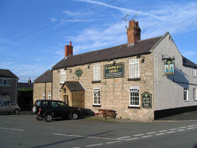
Treuddyn has its own church, St Mary's, and there are also two active chapels in the village. A third chapel, that of the Baptist denomination, has closed. There are many Bronze Age cairns in the area. It was an industrial area during the 19th and 20th centuries, with mining of coal, iron and lead. There was a distillery to extract oil from the coal, and a blast furnace between 1817 and 1865. In 1834 around 450 men were constantly employed in the collieries and other industries.