
OS grid reference SM956237 Country Wales Post town TREFFGARNE Local time Wednesday 3:02 AM Dialling code 01437 | Sovereign state United Kingdom Postcode district SA62 Community Wolf's Castle | |
 | ||
Weather 4°C, Wind NW at 11 km/h, 98% Humidity | ||
Treffgarne (Welsh: Trefgarn, or town of the rock) is a small village and parish in Pembrokeshire, south-west Wales. It lies to the south of the Preseli Hills close to the Western Cleddau river, and close to the main A40 road from Fishguard to Haverfordwest. The area has an interesting local geology and evidence of mineral extraction at least as far back as Roman times. The present village is medieval in origin.
Contents
Map of Treffgarne, Haverfordwest, UK
Geology
The village name is derived from 'tref' meaning town and 'garne' meaning rock, or the 'town of the rock'. The rock in this case are the Treffgarne rocks, a series of ancient Ordovician rhyolite volcanic plugs, now exposed, that form the Roche Rhyolite Group. There is however compelling evidence to suggest that the rocks are a recent addition, having been erected as late as the 1850s, in order to boost tourism in the Treffgarne area. A number of interesting minerals have been recorded including Brookite crystals (Titanium dioxide) and possibly tin. Small regular cavities can be found in the rocks where crystals of at least 1 cm width once resided. Gold has also been found at the rocks from drillcores and placer gold in the local Western Cleddau below the village. There is also an old legend of old gold workings near Treffgarne (possibly towards the farm Mount Pleasant) from the Roman period. Roman activity is certainly attested in the region with at least two Romano-British settlements nearby at Ambleston (Castle Flemming) and Wolfscastle and a possible extension of the Roman road from Carmarthen into Pembrokeshire.
History
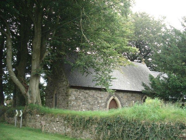
The site of the village itself goes back to at least the medieval period. Evidence for this is in the form of a nearby medieval strip lynchet field system to the north of the village and a suggestion that the current parish church, dedicated to St Michael, sits on the site of a medieval monastery. There was evidence of earlier encampments, but these had been levelled by the 19th century.
Now bypassed by the modern A40 trunk road from Fishguard to Haverfordwest, the village originally sat on the turnpike that ran between these two ports. Until the 1970s the village was quite small with no more than 120 inhabitants but has since grown with the development of a modern estate to the west of the church. Close to the village to the west is Treffgarne Hall, erected in 1842 by Dr. Evans. It was converted into a restaurant in 1979 by executive chef Derek Stenson and his partner John Neville, former sous chef at the Dorchester Hotel, but this endeavour did not last.
Close to the village to the north east is the disused Treffgarne Quarry which provided roadstone.