
 | ||
Similar Pennines, Longdendale Trail, Old Moor Wetland Centre R, Rother Valley Country P, Chesterfield Canal | ||
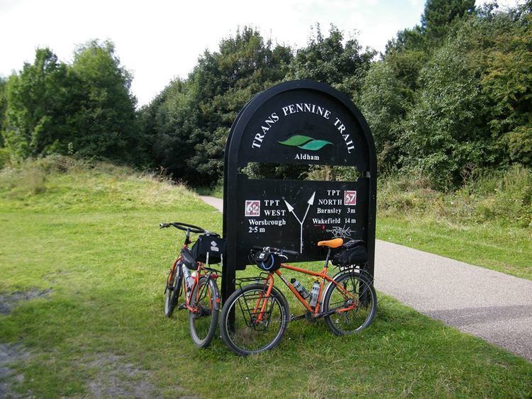
Cycling the trans pennine trail old moor to sprotbrough 2016
The Trans Pennine Trail is a long-distance path running from coast to coast across Northern England entirely on surfaced paths and using only gentle gradients (it runs largely along disused railway lines and canal towpaths). It forms part of European walking route E8 and is part of the National Cycle Network as Route 62 (referencing the M62 motorway which also crosses the Pennines).
Contents
- Cycling the trans pennine trail old moor to sprotbrough 2016
- Trans pennine trail warrington to manchester 26 03 2016
- History
- Route
- Certificates
- References
The surface and gradients make it a relatively easy trail, suitable for cyclists, pushchairs and wheelchair users. Some parts are also open to horse riding.
The trail is administered from a central office in Barnsley, which is responsible for promotion and allocation of funding. However, the twenty-seven local authorities whose areas the trail runs through are responsible for management of the trail within their boundaries.
Trans pennine trail warrington to manchester 26 03 2016
History
The idea originated from Barnsley, where the head office is now based. Work on the trail started in 1999. Early development was boosted by a £5 million investment by the Millennium Commission. The trail was officially opened in September 2001. However, the route was not fully completed until late 2004. It cost £60 million to construct.
Route
The main west–east trail starts at Southport, then heads south through the suburbs of Liverpool, through Widnes, Warrington, Manchester, Stockport and Hadfield. It then crosses the Peak District, heading up the Longdendale valley via the Longdendale Trail to Woodhead, then down through Dunford Bridge and Penistone, Doncaster, Selby, Hessle, Hull and Hornsea. This route covers 207 miles (333.1 km).
There is also a north–south trail that runs from Leeds and through Wakefield. It then passes through Barnsley and crosses over the main trail in the Dearne Valley area. After that it continues south to Sheffield and the Rother Valley Country Park before terminating in Chesterfield. This route is 70 miles (112.7 km) long. The route also has several deviations and loops south of the west–east trail, including one to Rotherham. Another 15-mile (24.1 km) spur runs from Selby to York.
The cross-continent European walking route E8 uses the trail between Hull and Liverpool to cross England. It also crosses both the eastern and western routes of the European walking route E2. It is also part of the National Cycle Network (Route 62).
Certificates
Certificates are handed out for covering different parts of the trail. In order to obtain them, trail users need to collect stamps at various points along the trail.