
Country United States Incorporated 1732 Elevation 96 m Population 8,926 (2010) | Settled 1676 Time zone Eastern (UTC-5) Zip code 01469 Local time Monday 8:00 PM | |
 | ||
Weather 9°C, Wind E at 5 km/h, 50% Humidity | ||
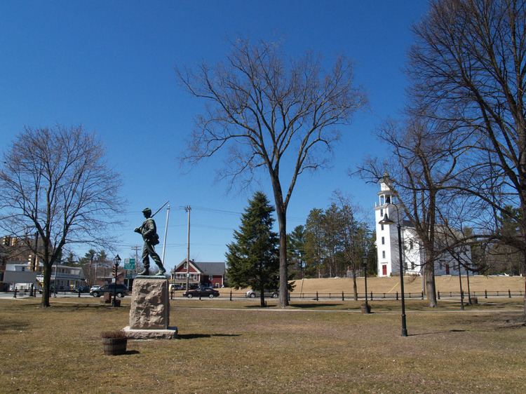
Townsend is a town in Middlesex County, Massachusetts, United States. The population was 8,926 at the 2010 census.
Contents
Map of Townsend, MA, USA
For geographic and demographic information on the census-designated place Townsend, please see the article Townsend (CDP), Massachusetts.
History
Townsend was first settled in 1676, and was officially incorporated in 1732. The town was named after Charles Townshend, English secretary of state and an opponent of the Tories.
Geography
According to the United States Census Bureau, the town has a total area of 33.1 square miles (85.8 km²), of which 32.9 square miles (85.1 km²) is land and 0.2 square mile (0.6 km²) (0.72%) is water. Townsend has the largest land area of any town in Middlesex County.
Townsend is bordered by Mason, New Hampshire and Brookline, New Hampshire to the north, Pepperell to the east, Groton and Shirley to the southeast, Lunenburg to the south, and Ashby to the west.
Demographics
As of the census of 2010, there were 8,926 people, 3,240 households, and 2,483 families residing in the town. The population density was 279.8 people per square mile (108.0/km²). There were 3,516 housing units at an average density of 96.9 per square mile (37.4/km²). The racial makeup of the town was 96.7% White, 0.6% Black or African American, 0.2% Native American, 0.8% Asian, 0.0% Pacific Islander, 0.4% from other races, and 1.3% from two or more races. Hispanic or Latino of any race were 1.8% of the population.
There were 3,240 households out of which 34% had children under the age of 18 living with them, 62.7% were married couples living together, 9.9% had a female householder with no husband present, and 23.4% were non-families. 18.4% of all households were made up of individuals and 6% had someone living alone who was 65 years of age or older. The average household size was 2.75 and the average family size was 3.14.
In the town, the population was spread out with 24.9% under the age of 18, 5.4% from 18 to 24, 22.8% from 25 to 44, 34.8% from 45 to 64, and 9.6% who were 65 years of age or older. The median age was 41.7 years. For every 100 females there were 97.7 males. For every 100 females age 18 and over, there were 95.8 males.
The median income for a household in the town was $76,533, and the median income for a family was $87,227. Males had a median income of $52,714 versus $35,843 for females. The per capita income for the town was $29,862. About 3.3% of families and 5.2% of the population were below the poverty line, including 3.4% of those under age 18 and 3.1% of those age 65 or over.