
Demonym(s) Tortoliesi | Province / Metropolitan city Nuoro (NU) Elevation 13 m (43 ft) Time zone CET (UTC+1) Local time Monday 3:35 PM Postal code 08048 | |
 | ||
Weather 17°C, Wind NW at 26 km/h, 64% Humidity | ||
Tortolì (Sardinian: Tortolì o Tortuelie, Latin: Portus Ilii) is a town and comune in Sardinia, in the Province of Nuoro.
Contents
Map of 08048 Tortol%C3%AC Province of Ogliastra, Italy
Geography
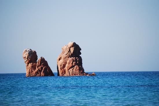
Tortolì is situated on the eastern coast of Sardinia. Its port and greatest hamlet is Arbatax, which has also an airport that once connected it to continental Italy and the European continent. Following an EU funded expansion of the small terminal buildings, runway and facilities, no flights were scheduled during 2012. To the north of it is Girasole and Lotzorai, to the west Villagrande Strisaili and Ilbono, and to the south Barisardo. To the east of the town is the Mediterranean Sea.
Ancient history
The area of Tortolì was visited by the Phoenicians, Romans, Vandals, Byzantines and Spanish. It was part of the giudicato of Agugliastra during the 10th and 11th centuries.
The town was the head of the County of Quirra.
Modern history
In 1807 Tortolì became head of a province consisting of 27 villages, but in 1921 lost the capital status in favour of Lanusei. In 1859 it was incorporated into the Province of Cagliari. In 1926 it was incorporated into the province of Nuoro.
In 1943 the port of Arbatax was bombed, killing 13 people.