
Elevation 1,580 m (5,180 ft) Postal code 33730 Population 162 (2012) | Time zone EET (UTC+2) Licence plate 33 Area code 0324 | |
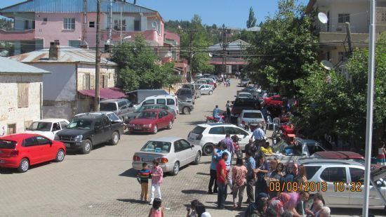 | ||
Toros (named after the mountain range in which the village has been founded) or Küçüksorgun, as it is popularly called, is a village in the Erdemli district of Mersin Province, Turkey. Its distance to Erdemli is 55 kilometres (34 mi) and its distance to Mersin is 90 kilometres (56 mi). It is also connected to north (Ayrancı in Karaman Province) over the mountains by a stabilized road through 300-year-old cedar forests.The village is situated in the Taurus Mountains and iIt is one of the highest locations of Mersin Province. In summers it is used as a summer resort so called yayla. The settled (winter) population of Toros was 162 as of 2012.
Map of Toros, Toros Mahallesi, 33730 Erdemli%2FMersin Province, Turkey
Around Toros, there are ruins dating back to the Roman and Byzantine eras and tombstones from the Ottoman era. The main economic activities of the village are vegetable agriculture and beekeeping. The main crops are tomato, cucumber, beans and cabbage.