
INSEE/Postal code 49350 /49660 Population 1,923 (1999) | Time zone CET (UTC+1) Area 32.35 km² Local time Monday 9:20 AM | |
 | ||
Weather 9°C, Wind E at 3 km/h, 89% Humidity | ||
Torfou is a former commune in the Maine-et-Loire department in western France. Inhabitants of Torfou are known as Torfousiens and Torfousiennes.
Contents
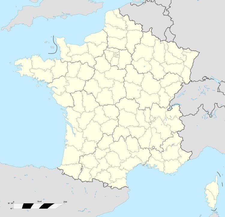
Map of Torfou, 49660 S%C3%A8vremoine, France
Geography
Torfou covers 32.35 km². It is situated along the Sèvre Nantaise river, 25 miles (40 km) Southeast of Nantes, and 12 miles (20 km) West of Cholet (reachable by rail from both cities).
The town is also at the border of three former provinces : Anjou (Maine-et-Loire), Poitou (Vendée), and Brittany (Loire-Atlantique).
History
During the early years of the French revolutionary wars, the town found itself at the heart of the counter-revolutionary struggle in the Vendée, especially on 19 September 1793, with the Battle of Torfou. This battle pitted many Royalist military leaders against Republican troops under Kléber and Canclaux and followed by a period of brutal government repression.
On 15 December 2015, Le Longeron, Montfaucon-Montigné, La Renaudière, Roussay, Saint-André-de-la-Marche, Saint-Crespin-sur-Moine, Saint-Germain-sur-Moine, Saint-Macaire-en-Mauges, Tillières and Torfou merged becoming one commune called Sèvremoine.
Sights
Twin town
Torfou is twinned with :