
OS grid reference SH565035 Country Wales Post town TYWYN Local time Sunday 10:08 PM Postcode district LL36 | Sovereign state United Kingdom Dialling code 01654 | |
 | ||
Weather 6°C, Wind S at 6 km/h, 83% Humidity | ||
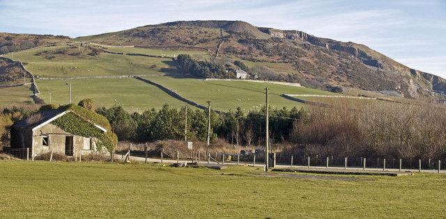
Tonfanau is a village in Gwynedd, Wales, located on the coast just under 20 miles north of Aberystwyth.
Contents
Map of Tonfanau, Tywyn, UK
During the Second World War an army base was created near the village. Around 600 men were stationed at the camp, which specialised in training personnel in anti-aircraft artillery.
All Arms Junior Leaders' Regiment
From May 1959 until August 1966 the camp was the home of the All Arms Junior Leaders' Regiment (A.A.J.L.R.).
Refugee Camp
In 1972, eight years after closing in 1966, the base was reopened and used as a refugee centre. Over 3,000 Ugandan Asians, fleeing from persecution by Idi Amin, were housed there for six months before being settled elsewhere.
The village is served by Tonfanau railway station and there is also a one mile long racing circuit named after the village which is mainly used for motorbike races.