
Website Tomaree National Park Phone +61 2 4984 8200 | Area 23.18 km² Established 1984 | |
 | ||
Managing authorities See also Protected areas ofNew South Wales Hours Open today · Open 24 hoursMondayOpen 24 hoursTuesdayOpen 24 hoursWednesdayOpen 24 hoursThursdayOpen 24 hoursFridayOpen 24 hoursSaturdayOpen 24 hoursSundayOpen 24 hoursSuggest an edit | ||
Nsw national parks answer the call tomaree national park
Tomaree is a national park in New South Wales, Australia, 145–155 km (90–96 mi) northeast of Sydney in the Port Stephens local government area. It is located on the shores of the Tasman Sea, extending north from Fishermans Bay to Shoal Bay passing through Boat Harbour, One Mile, Nelson Bay and Fingal Bay.
Contents
- Nsw national parks answer the call tomaree national park
- Australian wilderness adventures episode 004 tomaree national park
- References
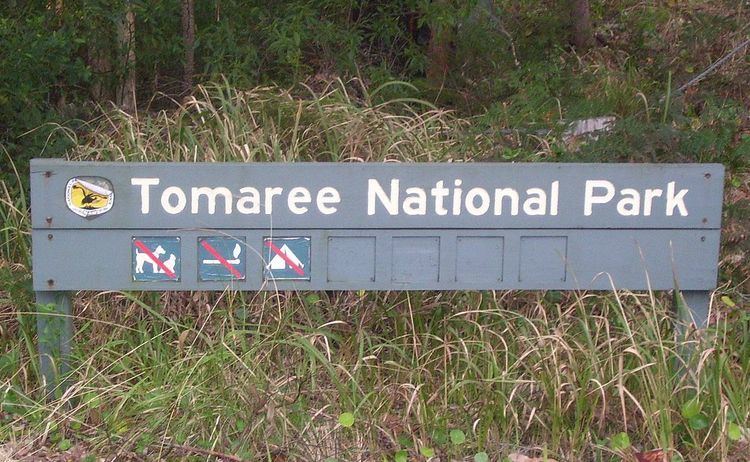
Most entry points to the park are indicated by signs installed by the New South Wales National Parks and Wildlife Service which usually indicate any activities that may be prohibited within park boundaries.
Two prominent locations in the park are Point Stephens Light, a lighthouse built in 1862 and the World War II gun emplacements on Tomaree Head which were built in 1941, the location of the No. 20 Radar Station RAAF.
Australian wilderness adventures episode 004 tomaree national park
References
Tomaree National Park Wikipedia(Text) CC BY-SA