
Elevation 114 m | Area 21.13 km² | |
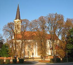 | ||
Doln saliby vinohrady a doln saliby tom ikovo dorast
Tomášikovo (Hungarian: Tallós) is a village and municipality in Galanta District of the Trnava Region of south-west Slovakia.
Contents
- Doln saliby vinohrady a doln saliby tom ikovo dorast
- Map of 925 04 TomC3A1C5A1ikovo Slovakia
- Splavovanie november edition mlyn jelka a tom ikovo adventure hunters
- Geography
- Population
- History
- References
Map of 925 04 Tom%C3%A1%C5%A1ikovo, Slovakia
Splavovanie november edition mlyn jelka a tom ikovo adventure hunters
Geography
The municipality lies at an elevation of 118 metres and covers an area of 21.134 km².
Population
On 31 December 2011, it had a population of 1611 people.
History
In the 9th century, the territory of Tomášikovo became part of the Kingdom of Hungary. In historical records the village was first mentioned in 1646. After the Austro-Hungarian army disintegrated in November 1918, Czechoslovak troops occupied the area, later acknowledged internationally by the Treaty of Trianon. Between 1938 and 1945 Tomášikovo once more became part of Miklós Horthy's Hungary through the First Vienna Award. From 1945 until the Velvet Divorce, it was part of Czechoslovakia. Since then it has been part of Slovakia.