
Time zone EET (UTC+2) Area 895.4 km² | Charter 1869 Municipal tax rate 21.5% Local time Sunday 8:45 AM | |
 | ||
Area rank 93rd largest in Finland Weather 1°C, Wind NW at 6 km/h, 93% Humidity | ||
Tohmajärvi is a municipality of Finland.
Contents
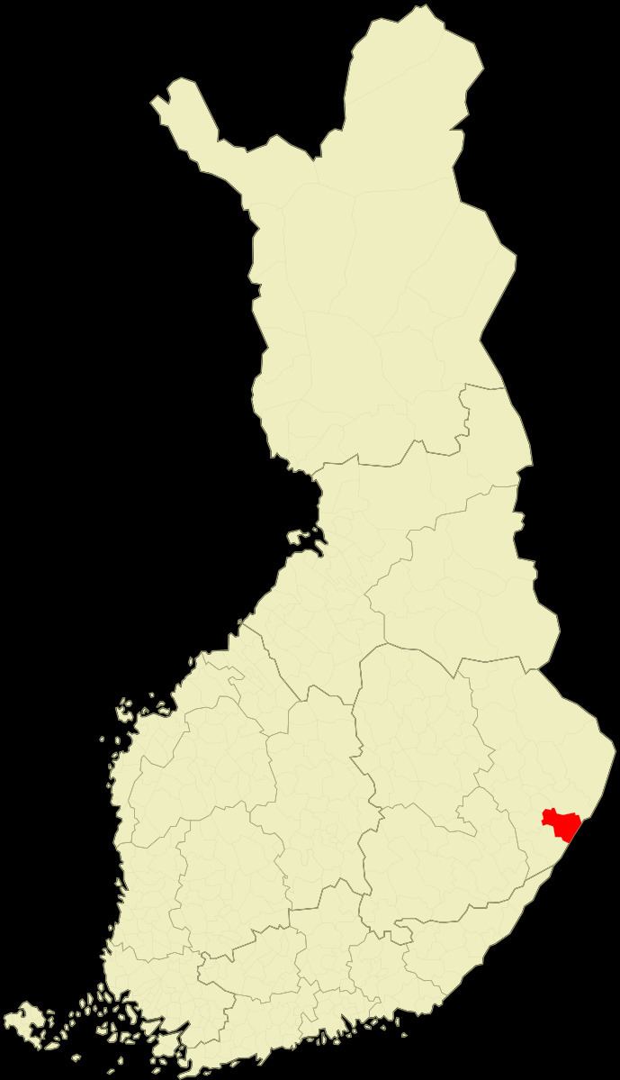
Map of 82600 Tohmaj%C3%A4rvi, Finland
It is located in the province of Eastern Finland and is part of the North Karelia region. The municipality has a population of 4,741 (31 March 2016) and covers an area of 837.75 square kilometres (323.46 sq mi) of which 57.62 km2 (22.25 sq mi) is water. The population density is 5.66 inhabitants per square kilometre (14.7/sq mi). Neighbouring municipalities are Joensuu, Kitee and Rääkkylä.
The municipality is unilingually Finnish.
The municipality of Värtsilä was consolidated with Tohmajärvi in 2005.
Tohmajärvi is located along the Blue Highway, which is an international tourist route from Mo i Rana, Norway to Pudozh, Russia via Sweden.
People
References
Tohmajärvi Wikipedia(Text) CC BY-SA