
Founded 21 September 1593 Website Official website Elevation 2,605 m Local time Saturday 9:33 PM | Founded by Miguel de Ibarra Area 73.51 km² Population 31,975 (2015) | |
 | ||
Weather 14°C, Wind N at 6 km/h, 86% Humidity | ||
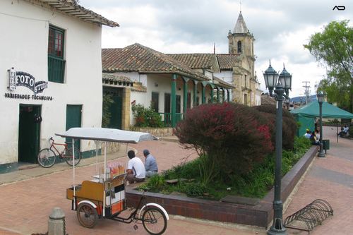
Tocancipá ([tokansiˈpa]) is a municipality and town of Colombia in the Central Savanna Province, part of the department of Cundinamarca. Tocancipá is situated in the northern part of the Bogotá savanna, part of the Altiplano Cundiboyacense in the Eastern Ranges of the Colombian Andes with the urban centre at an altitude of 2,605 metres (8,547 ft). The capital Bogotá, which metropolitan area includes Tocancipá, is 42 kilometres (26 mi) to the south. Tocancipá borders Gachancipá and Zipaquirá in the north, Cajicá and Zipaquirá in the west, Gachancipá and Guatavita in the east and Guasca and Sopó in the south.
Contents
Map of Tocancip%C3%A1, Cundinamarca, Colombia
Etymology
The name Tocancipá comes from Muysccubun and means "Valley of the joys of the zipa".
History
The area of Tocancipá was inhabited early in the history of inhabitation of the Altiplano. The archaeological site Tibitó is located within the boundaries of Tocancipá and evidence of inhabitation has been dated to 11,740 ± 110 years BP. At the time of arrival of the Spanish conquistadores in 1537, Tocancipá was part of the Muisca Confederation, a loose confederation of different rulers of the Muisca. The zipa of Bacatá ruled over Tocancipá.
Modern Tocancipá was founded on September 21, 1593 by Miguel de Ibarra.
Tourism
Jaime Duque Park, a family-oriented amusement park, is located in Tocancipá. The town also hosts the Autódromo de Tocancipá, a race track where vintage and GT races are held.