
 | ||
The Tobeatic Wilderness Area is the largest protected area in Nova Scotia. It is located in south central Nova Scotia, Canada adjacent to and roughly three times the size of Kejimkujik National Park. The park spans five counties: Annapolis County, Digby County, Queens County, Yarmouth County and Shelburne County. In 1998, the Tobeatic Wildlife Management Area (the successor to the Tobeatic Game Reserve) and additional Crown lands, were designated by the Province of Nova Scotia as the Tobeatic Wilderness Area.
Contents
- Geology
- Wildlife
- Waterways
- Rivers
- Shelburne River system
- Caribou River System
- Clyde River System
- Jordan River System
- Napier River System
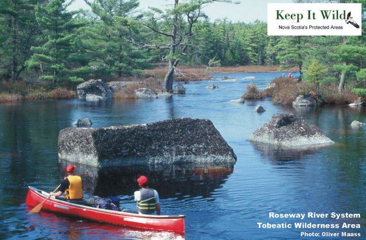
- Roseway River System
- Sissiboo River System
- Tusket River East Branch
- History
- References
The word Tobeatic means "Place of the Alder" in the Mi'kmaq language.
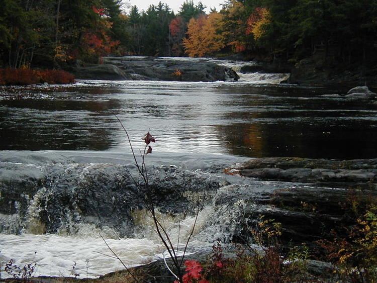
The region is drawn with rivers and studded with many lakes. It contains large areas of pristine Acadian forest. The geography of the Tobeatic is quite varied as it consists of wetlands, woodlands, scrublands and barrens. The following glacial features can be found here: glacial barrens, erratics, drumlins, eskers, glacial outwash (sandur) and kettle lakes.
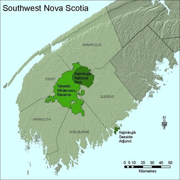
The Tobeatic differs from Kejimkujik National Park in that some hunting and public leasing of land is allowed, and that campsites, canoe routes, and portages are not as developed or maintained. However, the Nova Scotia Department of Environment and Labour, Protected Areas Division, is in the process of opening some trails systems and retiring hunting camps. All Terrain Vehicle use within the Reserve has also been disallowed. Along with Kejimkujik, the Tobeatic is part of the UNESCO designated Southwest Nova Biosphere Reserve.
The government of Nova Scotia has given approximately 30 leaseholders the choice of trading their leased land for $20,000 (Cdn. funds) and property on government land elsewhere. As of January 1, 2007, about 25 have agreed. Under the current lease agreement, leased land reverts to government control once the current leaseholder dies.

Geology
The Tobeatic Wilderness Area is made up of several geological units including: the Goldenville Formation, the Halifax Formation, and Middle to Late Devonian biotite monzogranite and leucomonzogranite. It's surficial geology is largely a stoney till plain and contains many moraines, eskers, hummocks and drumlins
Wildlife
Wildlife in the Tobeatic Game Reserve includes eastern moose and white-tailed deer.
Waterways
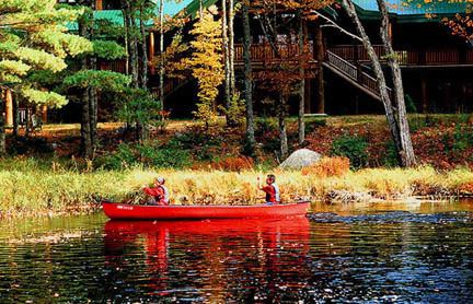
A book on "Paddling the Tobeatic" was published by Nimbus Publishers. The Tobeatic/Kejimkujik area is also the setting for "The Tent Dwellers", although at that time, neither the Tobeatic Wilderness Reserve nor Kejimkujik National Park existed.
Rivers
Rivers in the Tobeatic Wilderness Area include:
Shelburne River system
Caribou River System
Clyde River System
Jordan River System
Napier River System
Roseway River System
Sissiboo River System
Tusket River, East Branch
History
Archaeological research shows that the Mi’kmaq people were present in the Tobeatic at least 4500 years ago.