
 | ||
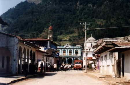
Tlacolulan is a municipality located in the montane central zone in the State of Veracruz, about 17 km from state capital Xalapa. It has a surface of 137.36 km2. It is located at 19°40′N 97°00′W. It was inhabited by the totonac pre-Hispanic, of the former ones of Xalapa's region. For decree number 25 of April 14, 1861 the Government of the State, ordered that the people head-board of this municipality names Tlacolulan of the Free ones.
Contents
Map of Tlacolulan, Ver., Mexico
Geographic Limits
The municipality of Tlacolulan is delimited to the north by Tenochtitlán, to the east by Coacoatzintla and Tonayan and to the south by Acajete. It is watered by small creeks that are tributaries of the river Actópan
Agriculture
It produces principally maize.
Celebrations
In Tlacolulan , in February takes place the celebration in honor to Virgen de la Candelaria, Patron of the town, and in December takes place the celebration in honor to Virgen de Guadalupe.
Weather
The weather in Tlacolulan is cold and wet all year with rains in summer and autumn.